On January 31, 2010 my friend Case Ketting took me and a couple of friends for a flight along the coast from Santa Maria to Half Moon Bay.
A Flight to Half Moon Bay
I'm a licensed pilot but I haven't been able to fly much in recent years so it's a special treat to go flying with my friend Dr. Case Ketting. You may remember my friend Case from the other aerial adventure on my web page. He now lives in Arroyo Grande and when I visited him we went flying again.
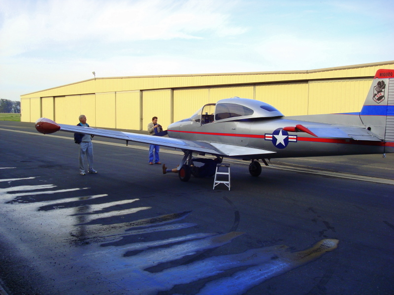
Case gave the plane a thorough preflight check.
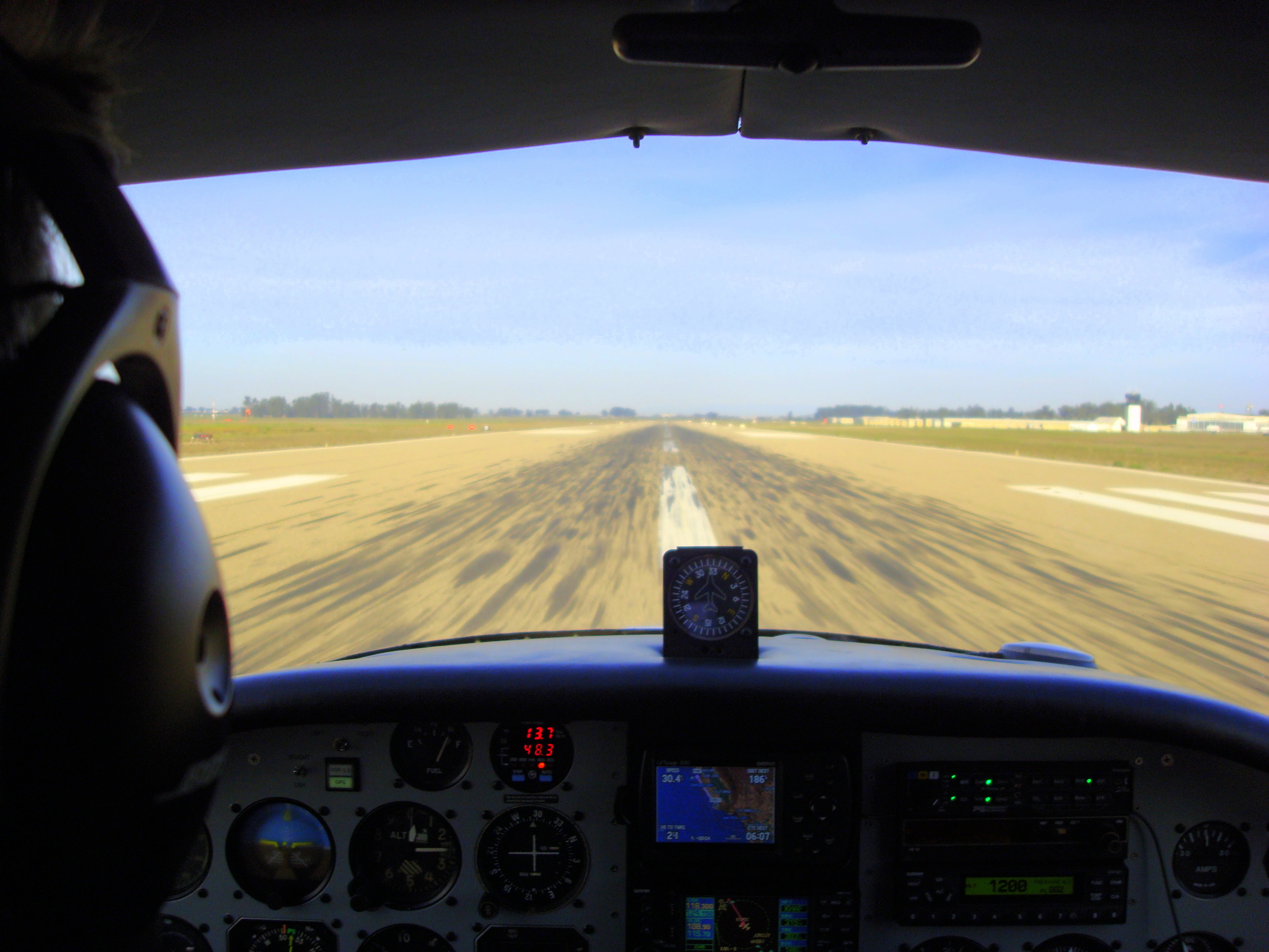
Take off! The fun begins!
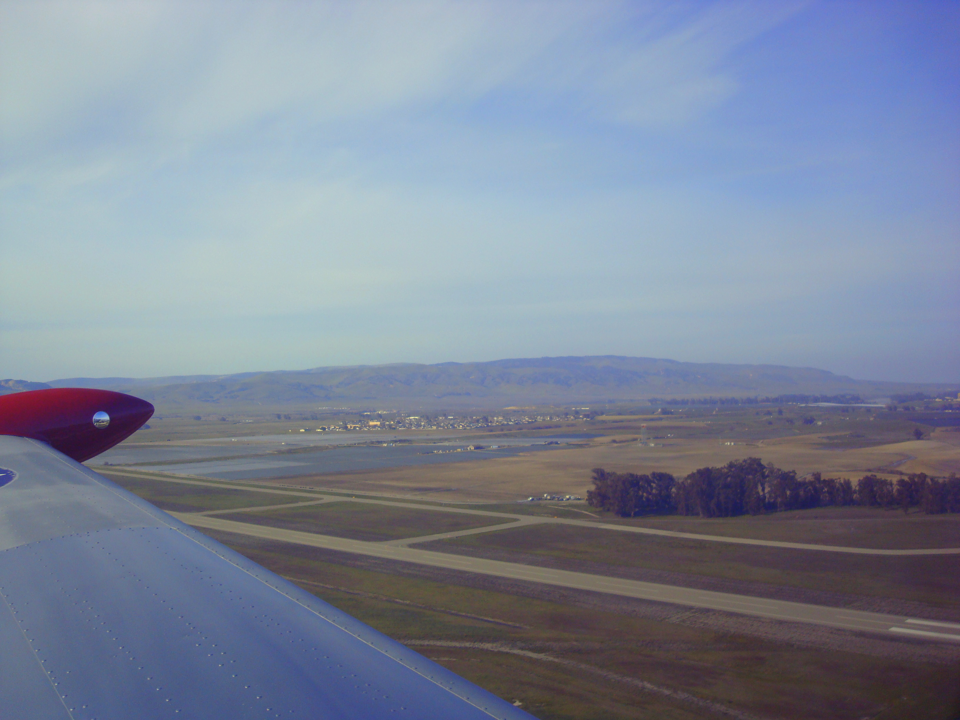
As we gain altitude we see things from a different perspective.
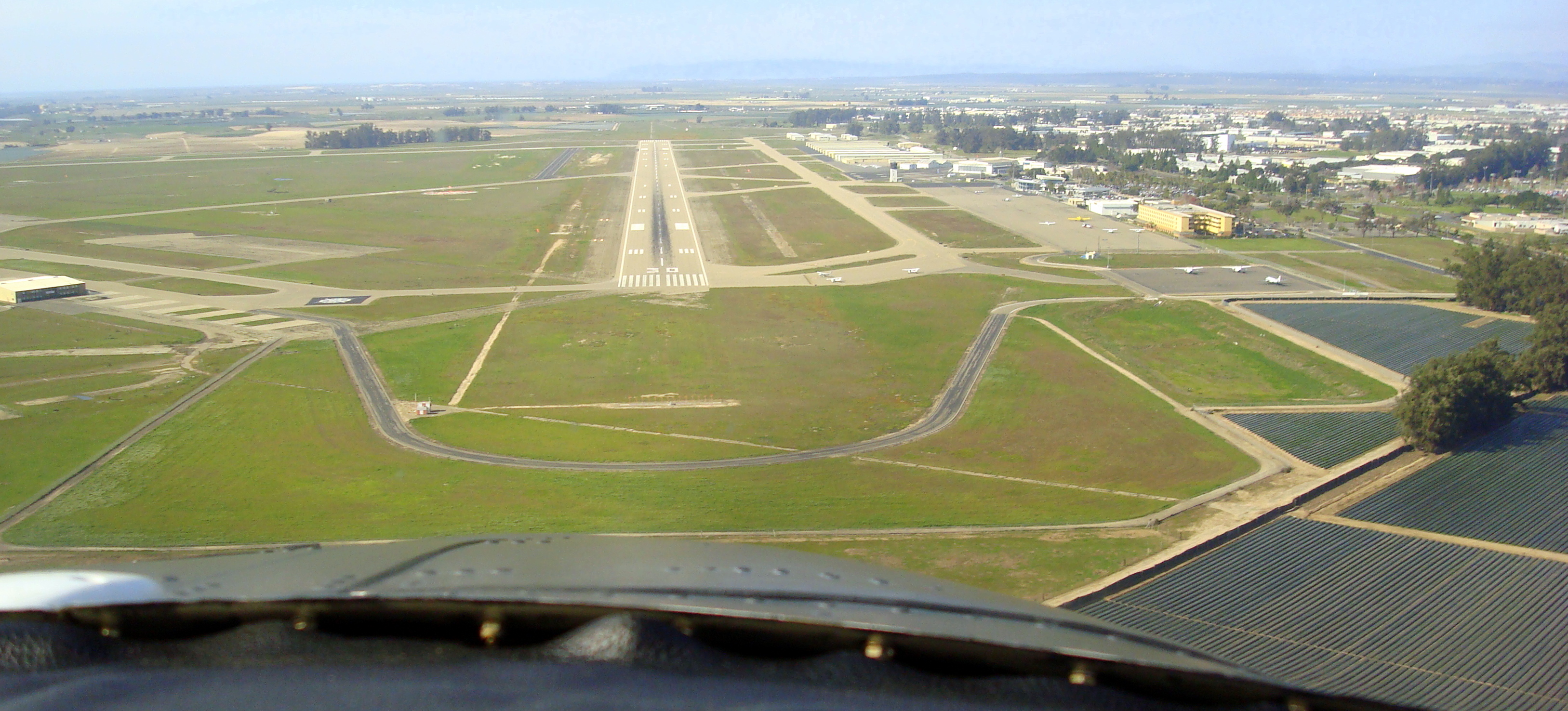
Case demonstrates great flying skills by staying on the runway centerline after takeoff.
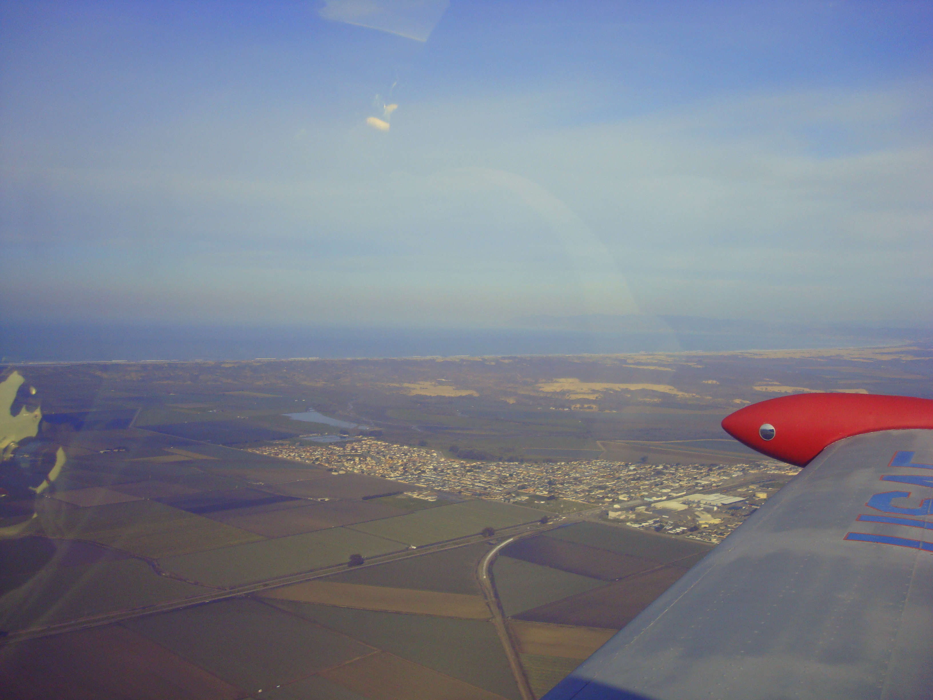
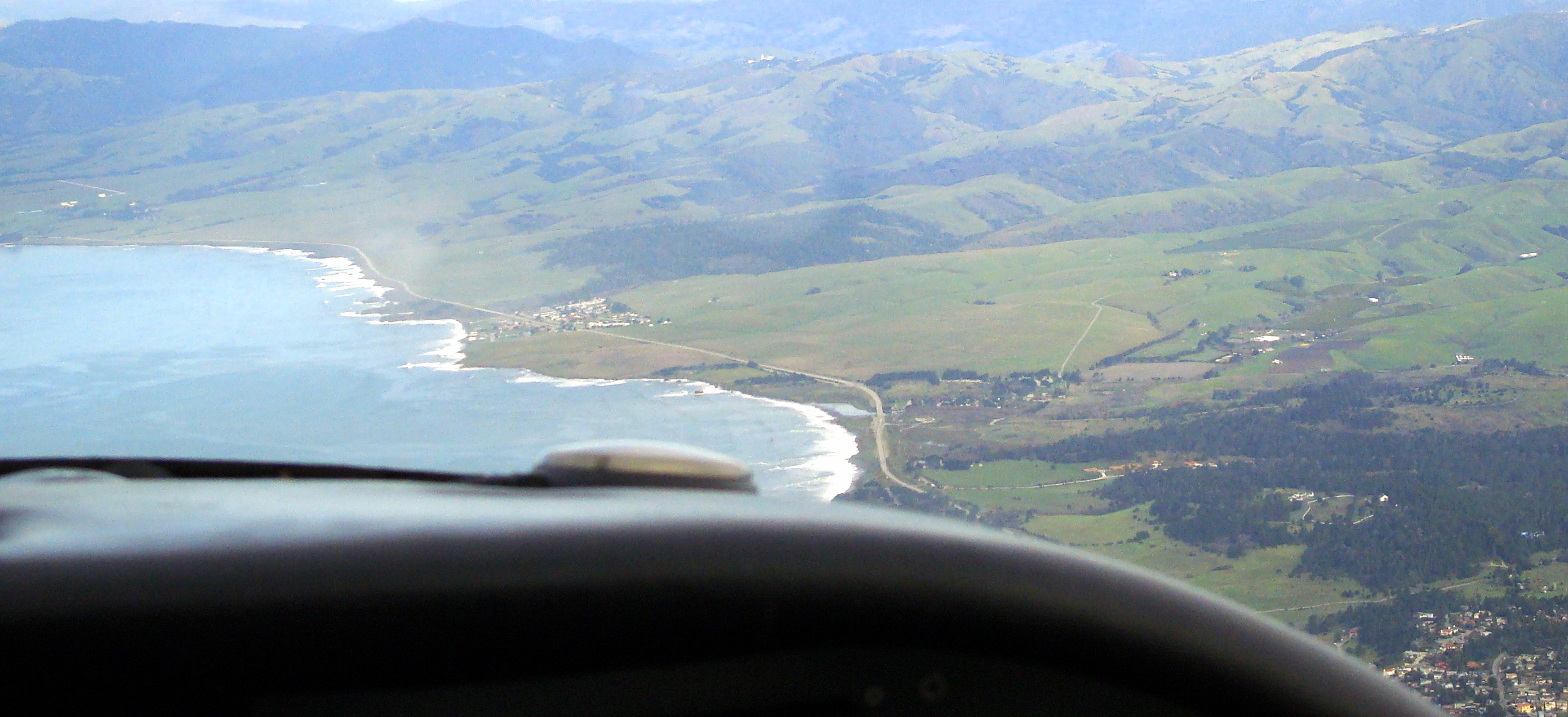
We pass by the small town of Guadalupe on our way to the coast.
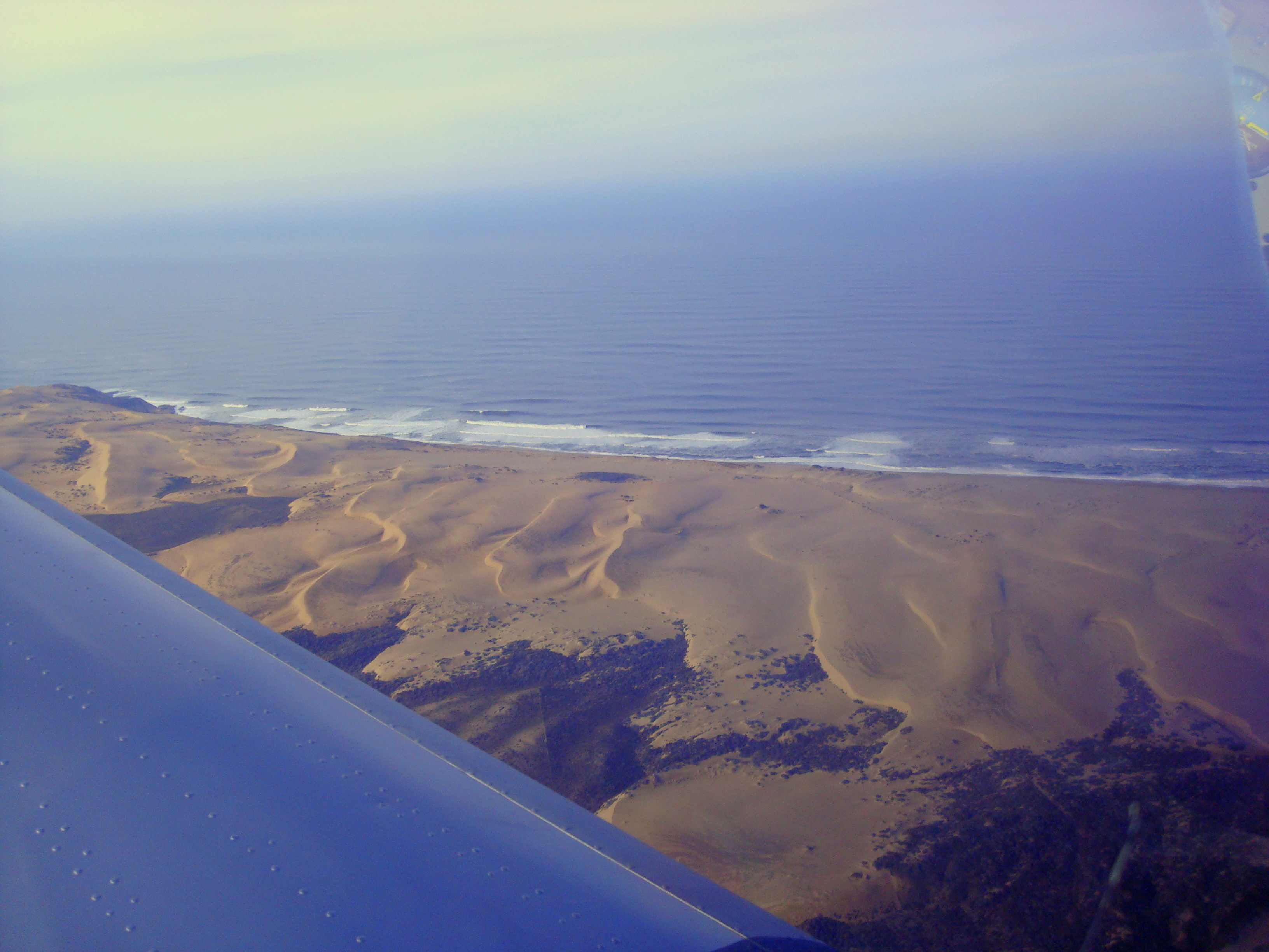
We are treated to a good view of the Pismo Dunes as we get to the coast.
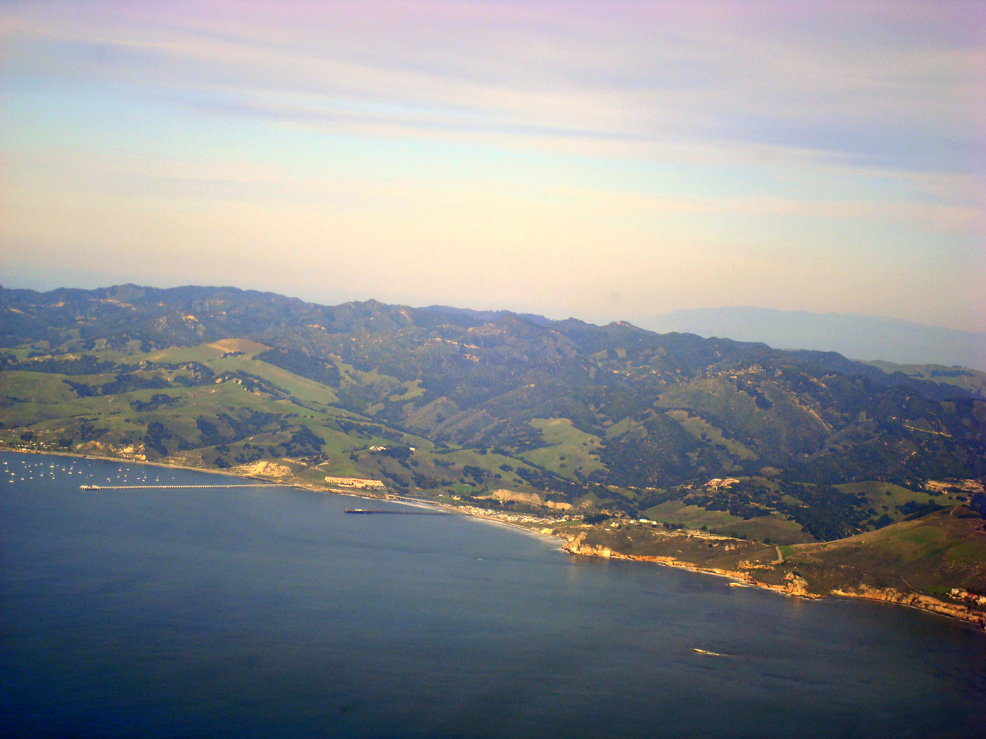
Pismo beach is the first resort town we come to on the coast.
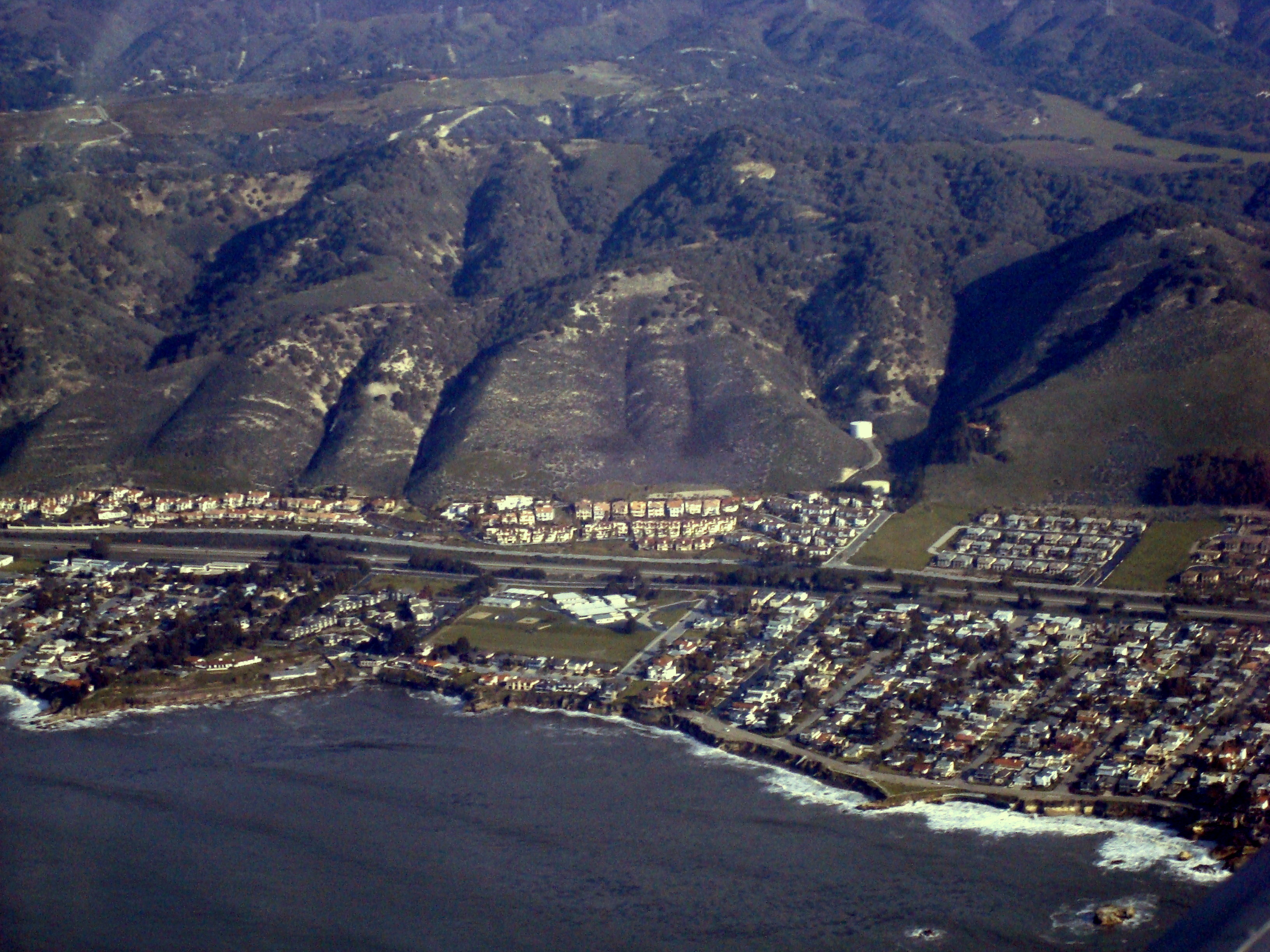
Here is a view of Shell Beach.
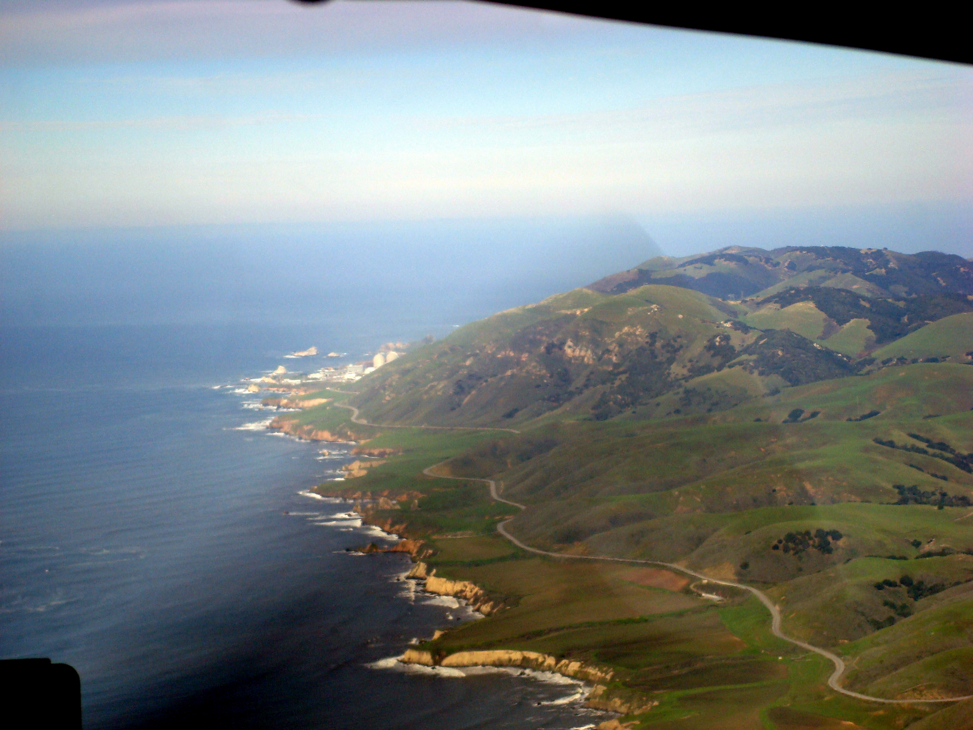
We continue along the coast. Up ahead is Diablo Canyon Nuclear Power Plant.
One of those Islands is Lion Rock.
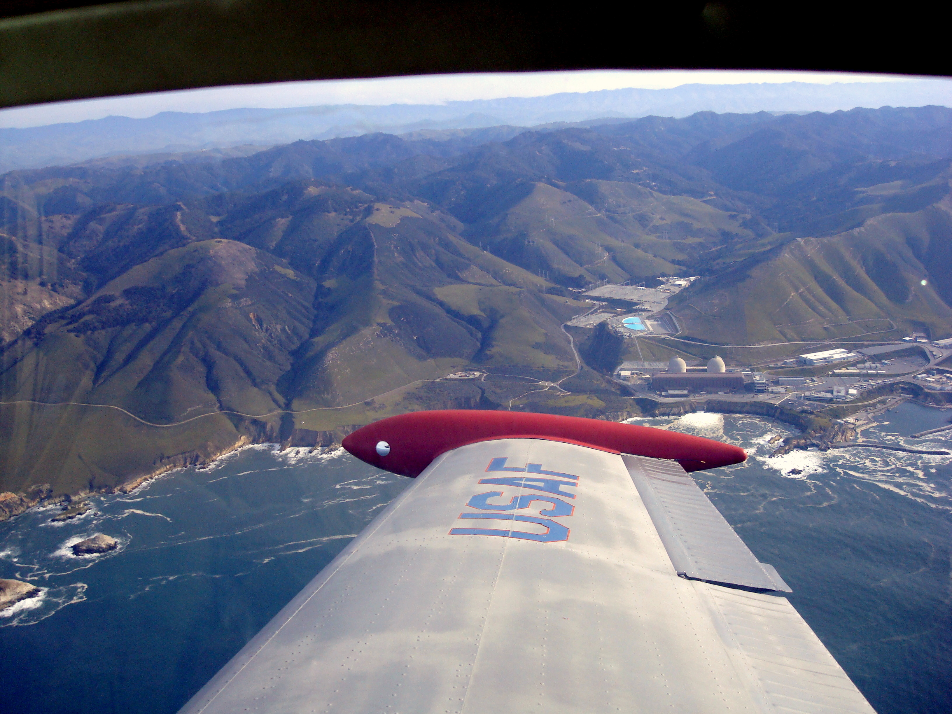
Off the right wing is a good view of Diablo Canyon Nuclear Power Plant.
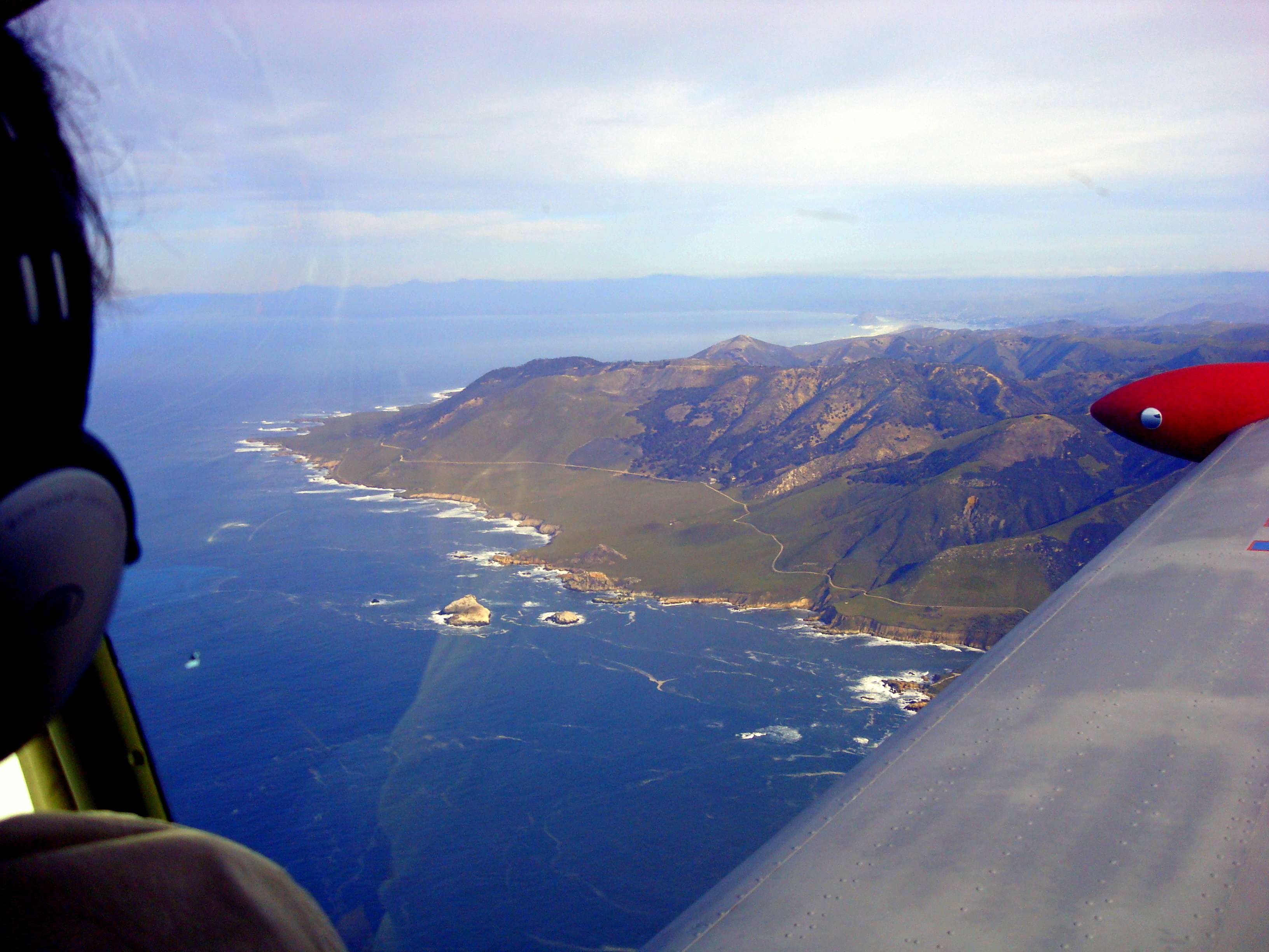
We proceeded along the coast up to Morro Bay.
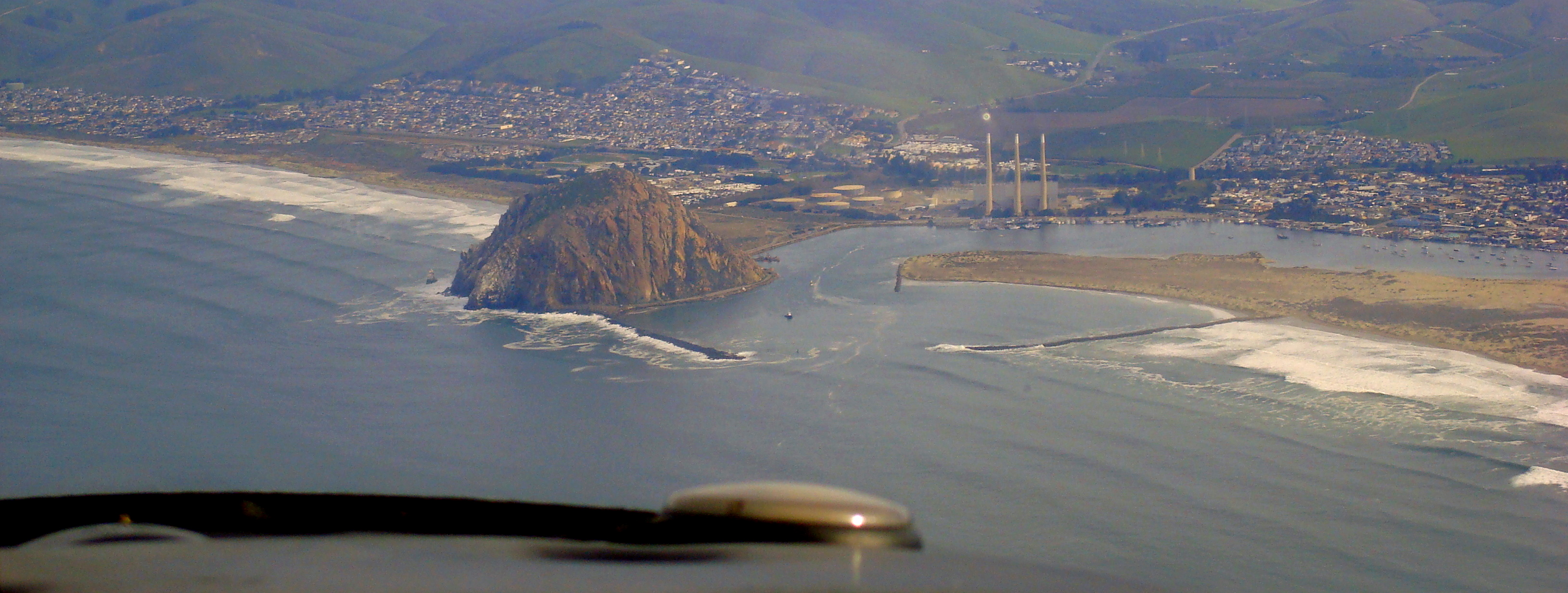
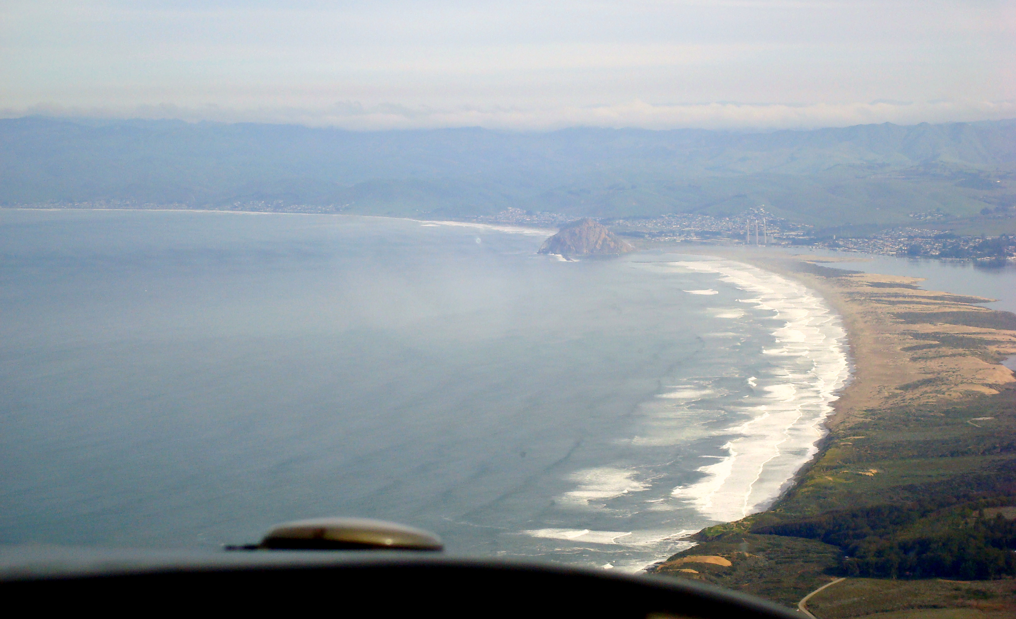
Ahh, Morro Rock.
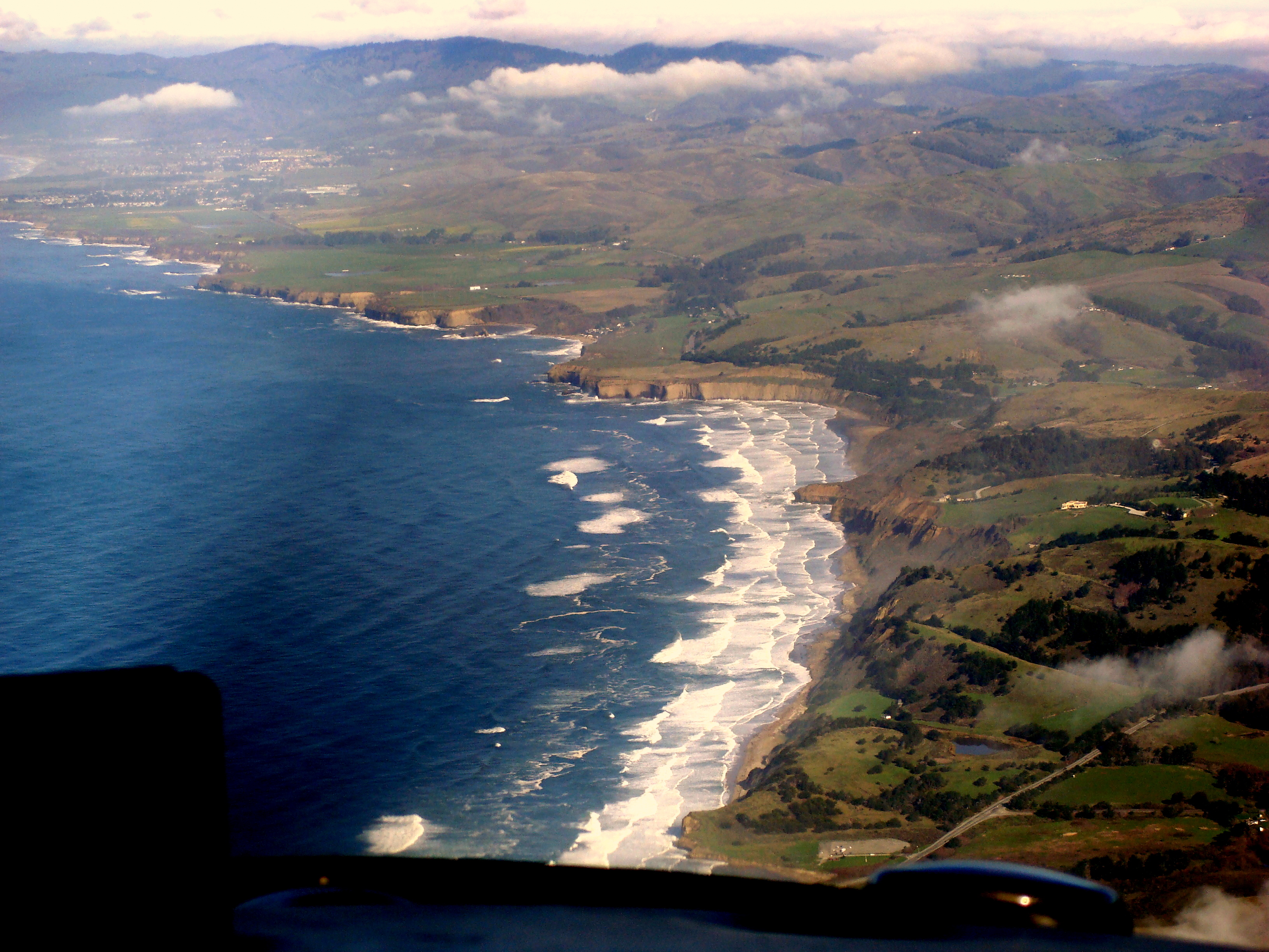
We kept on our way up the coast. Here you can see Estero Bay.
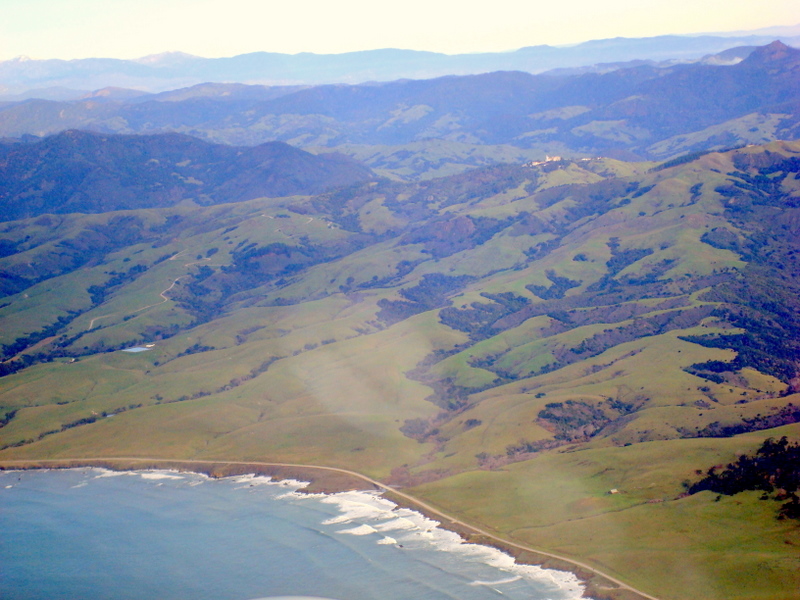
Here we are looking at Cambria (lower right), San Simeon (left of center) and Hearst castle (the dot on the hill at the top of the picture).
Hearst on top of the enchanted hill AKA "La Cuesta Encantada" overlooking the ocean.
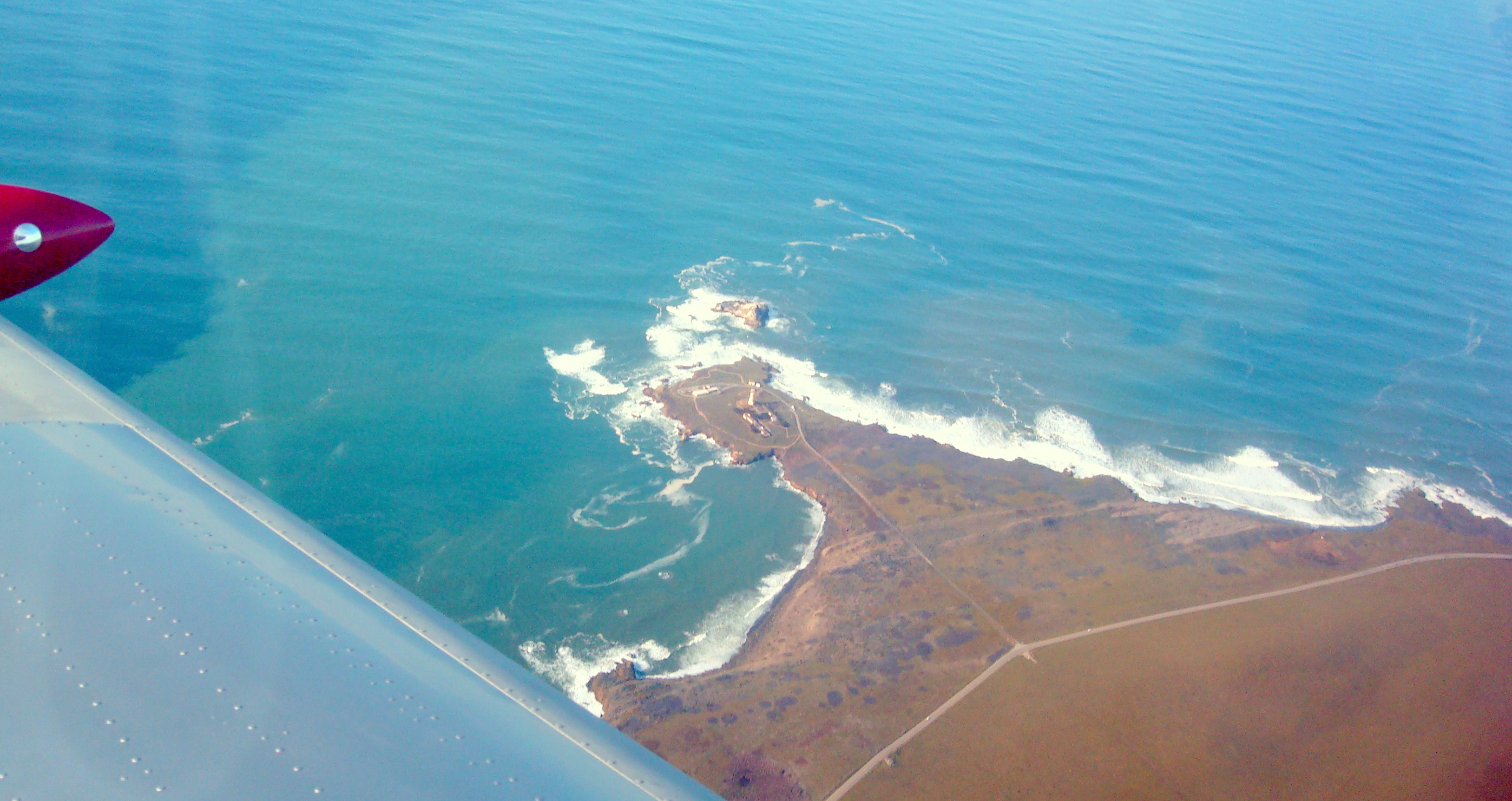
The Piedras Blancas light house.
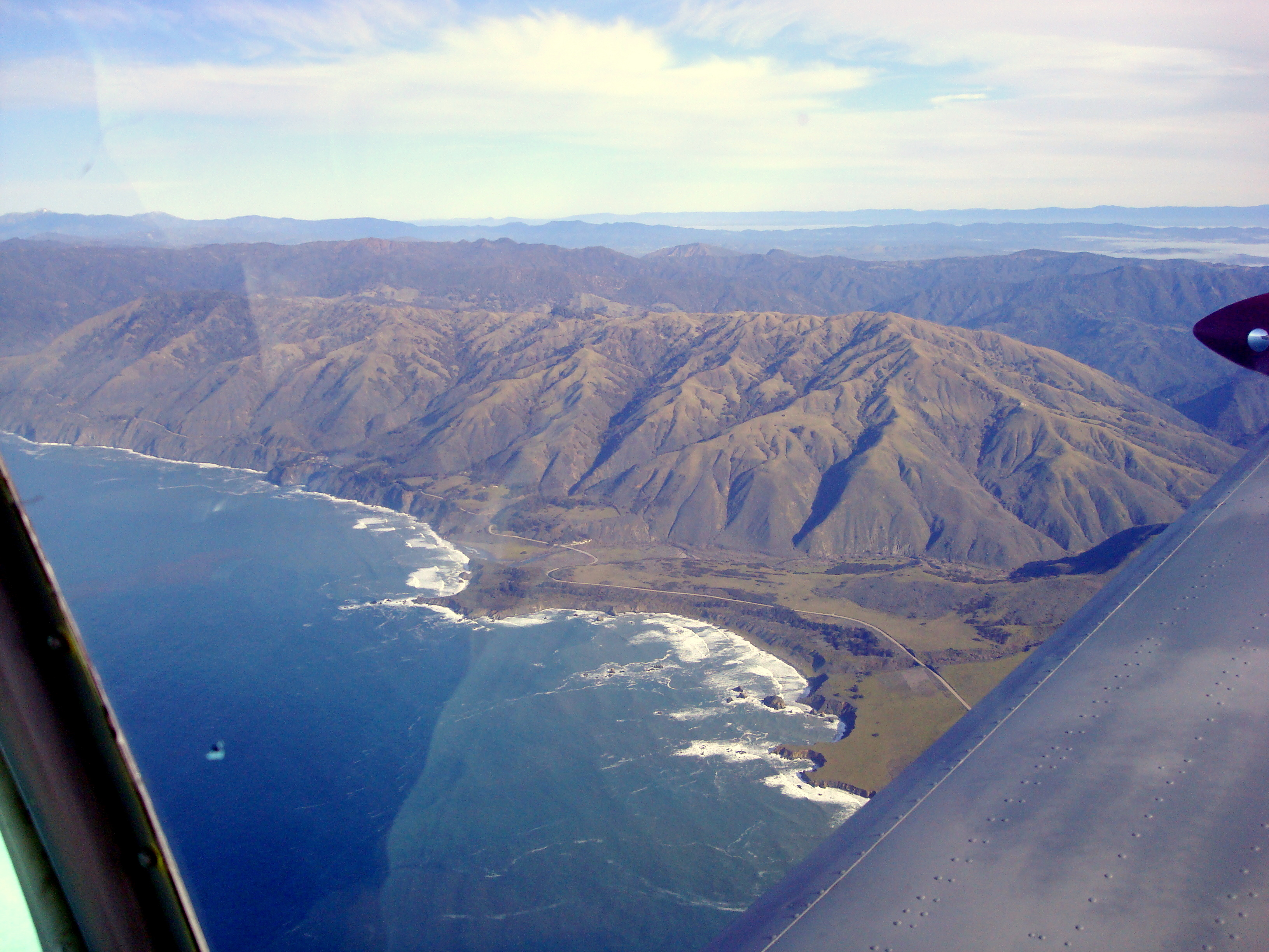
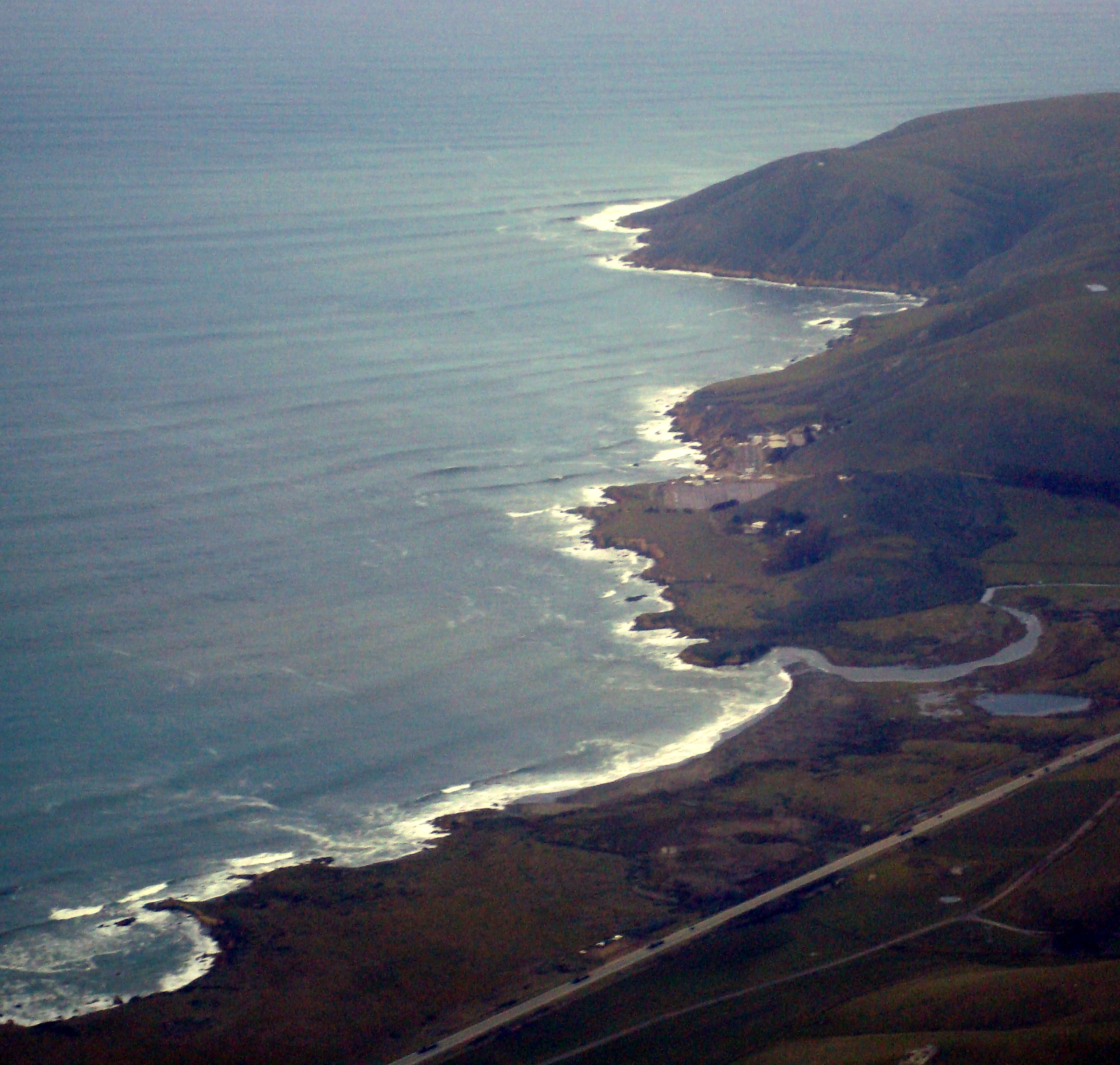
A little further up the coast and we arrive at Big Sur.
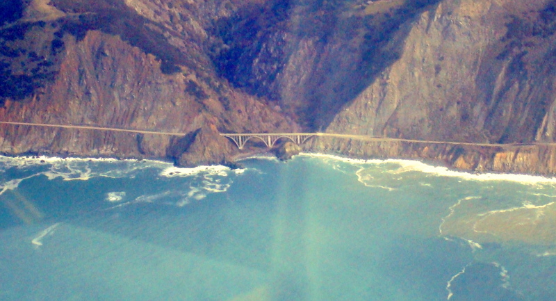
The double arch Big Creek Bridge doesn't look so big from this perspective.
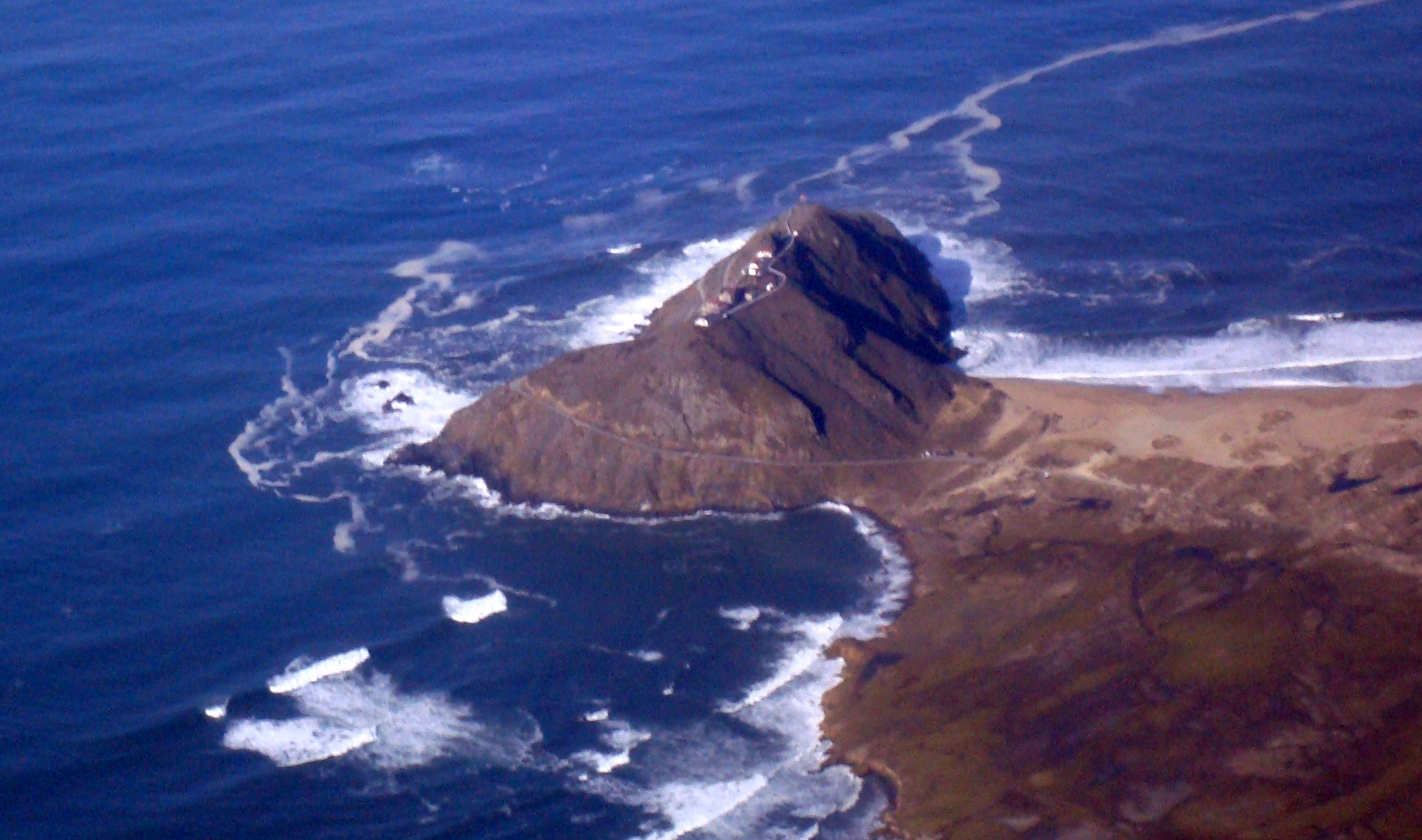
Point Sur Light Station, another scenic point on our way.
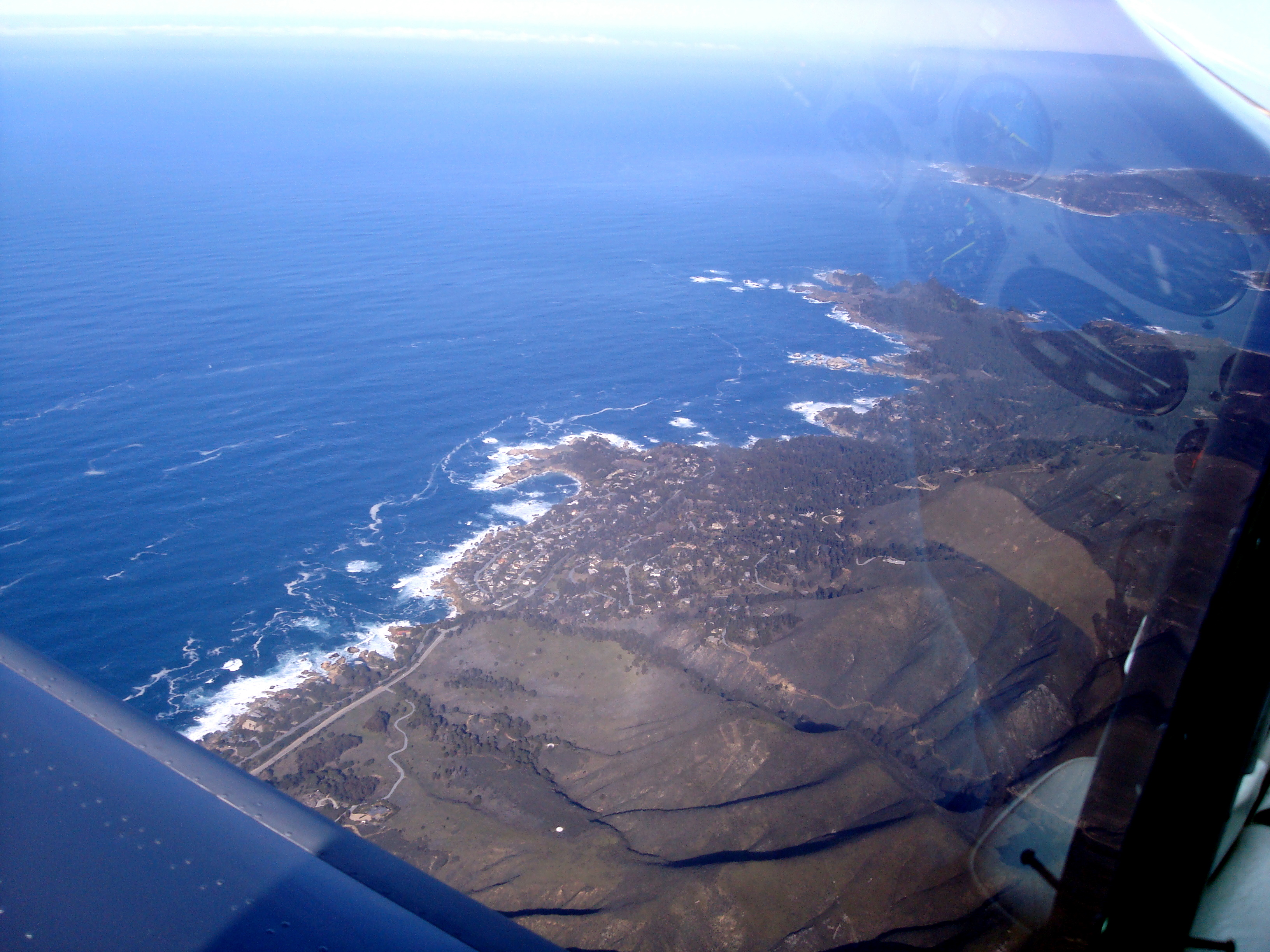
As we continue, we get to Carmel.
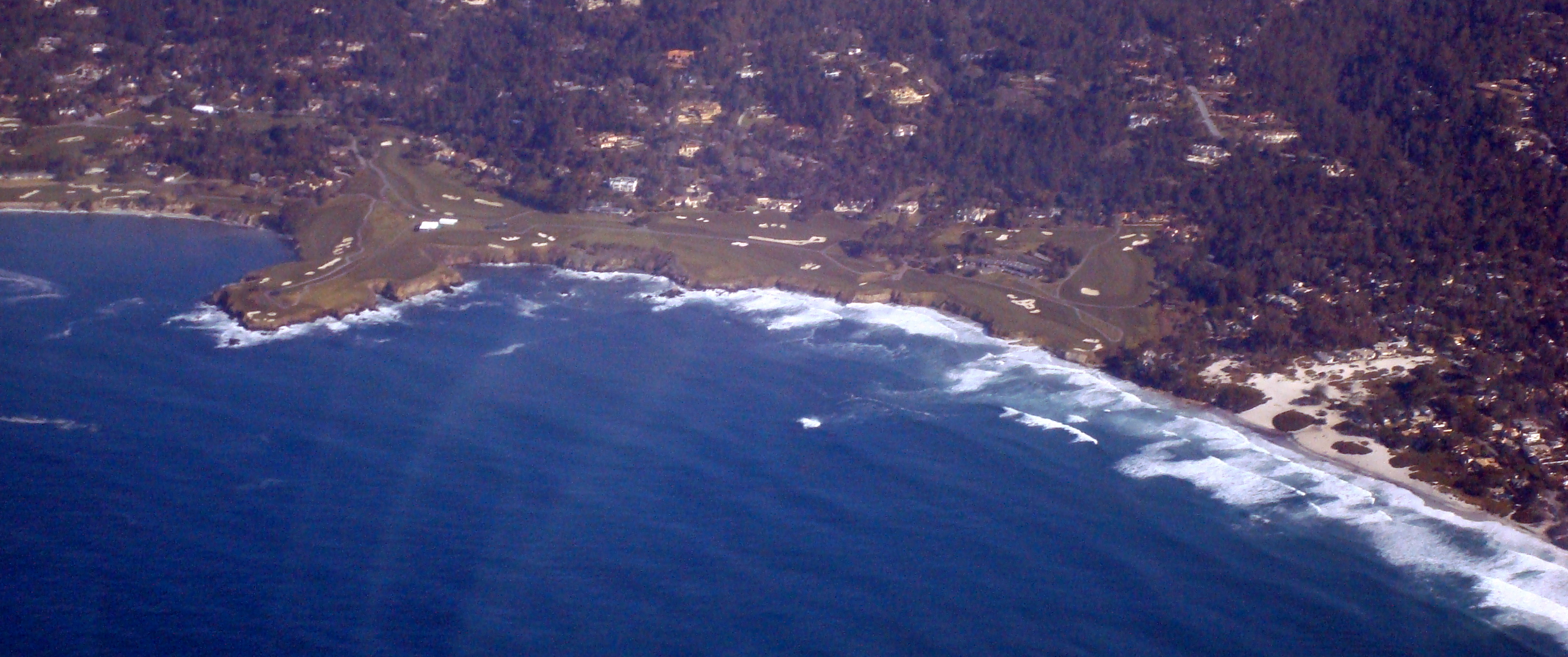
You can see the golf course in Carmel (Pebble Beach).
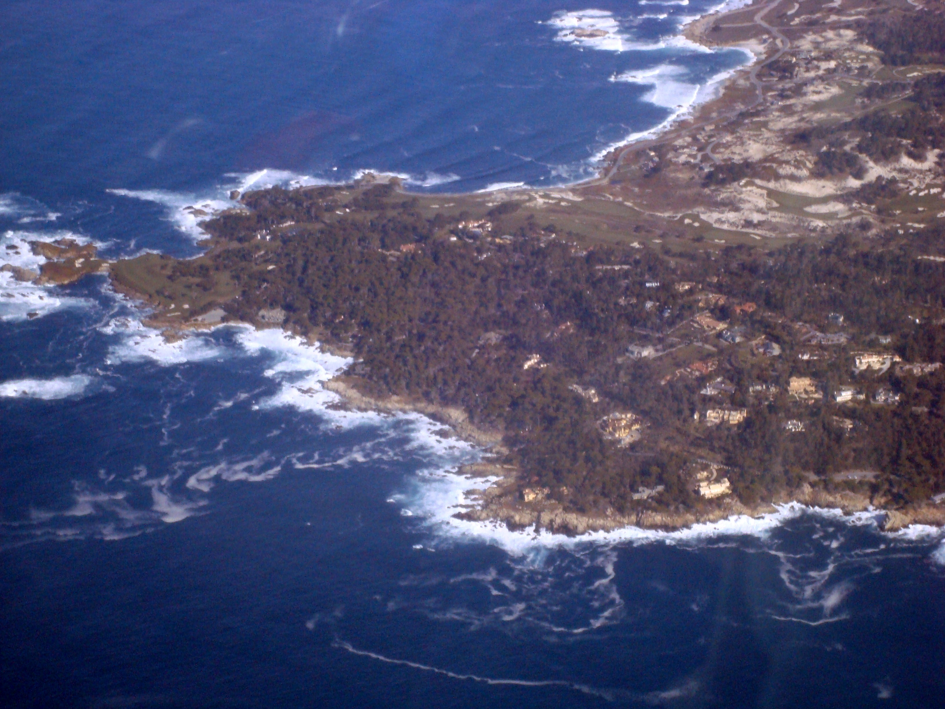
Seventeen Mile Drive is beautiful from the sky too.
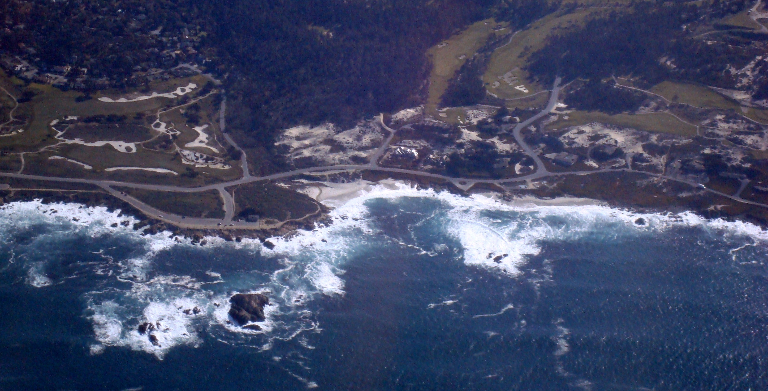
Of course Seventeen Mile Drive also has the Spyglass Hill (shown) and Cypress Hill golf courses.
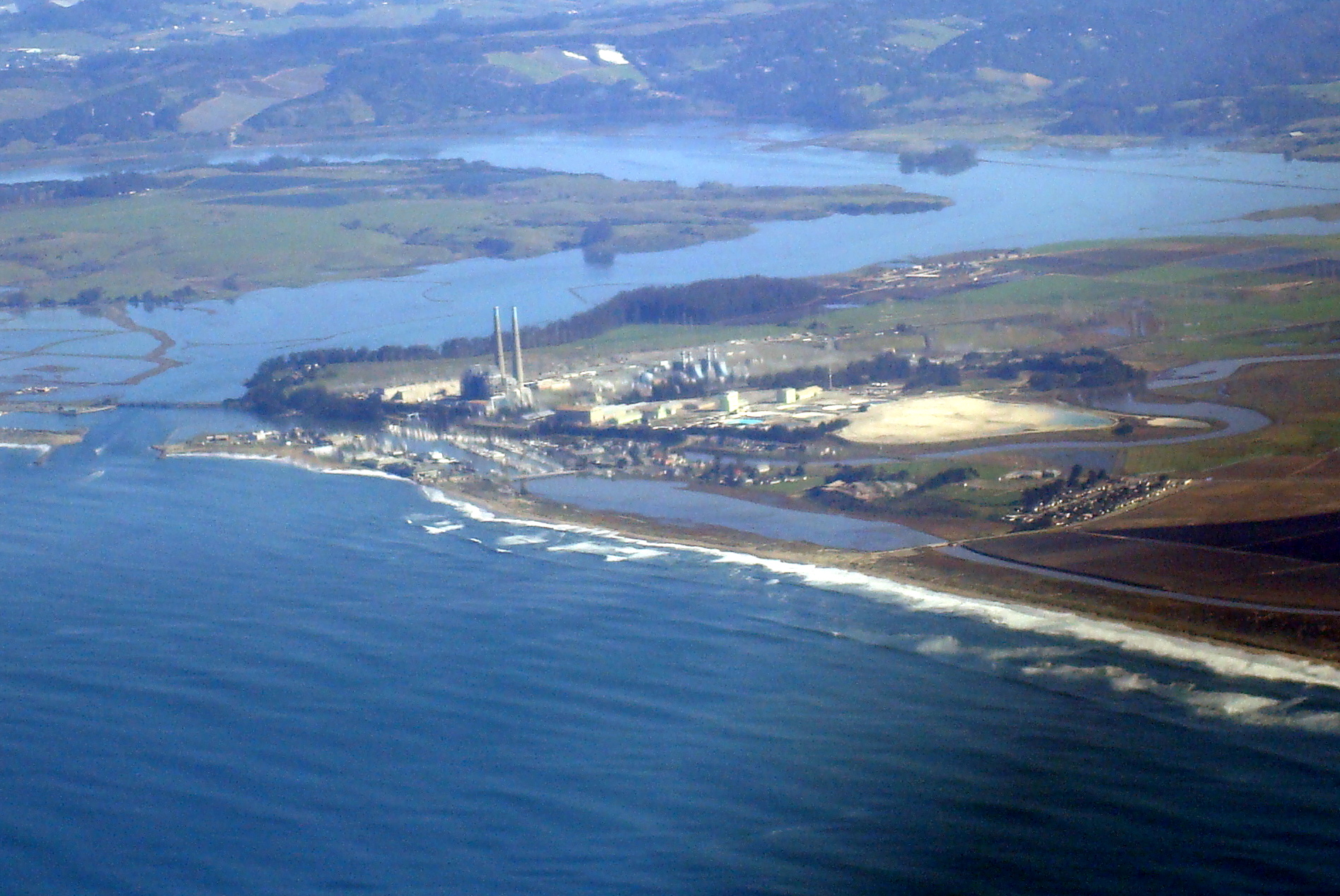
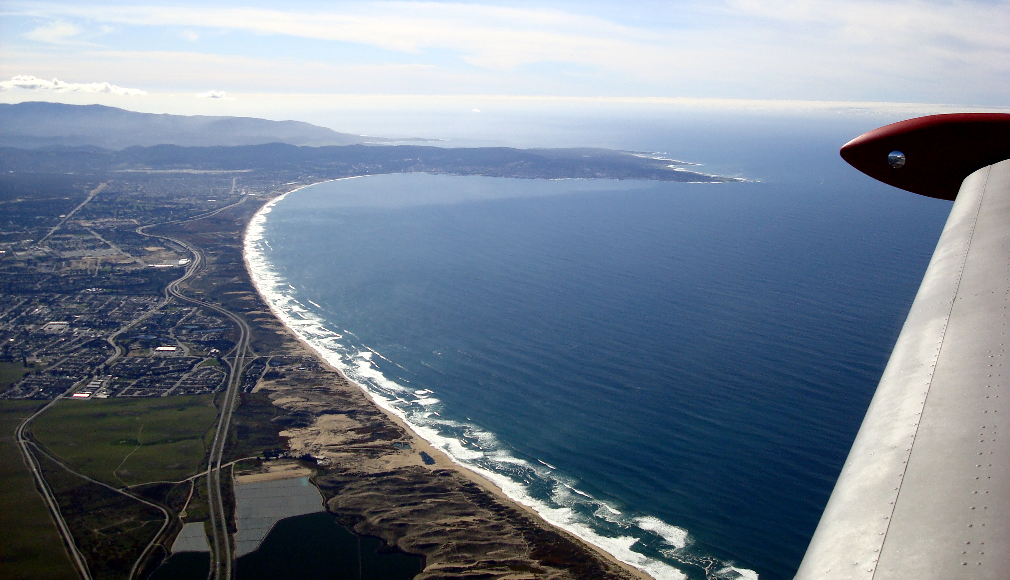
Moss landing is a major landmark in the Monterey Bay.
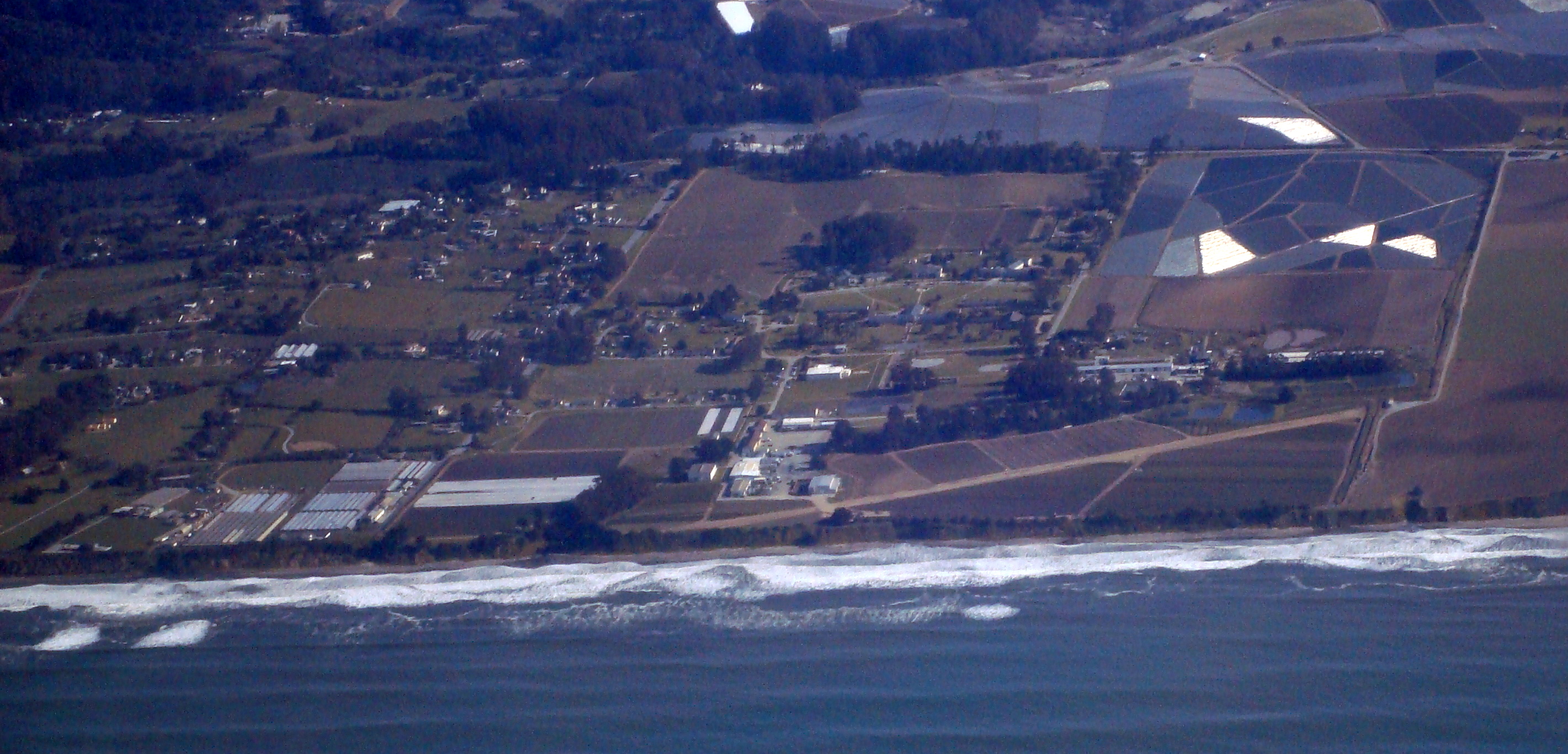
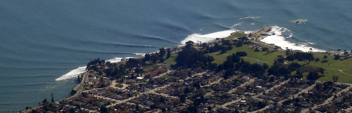
Here is Monterey Bay Academy. It's special to me because it's where I went to high school and learned to surf.
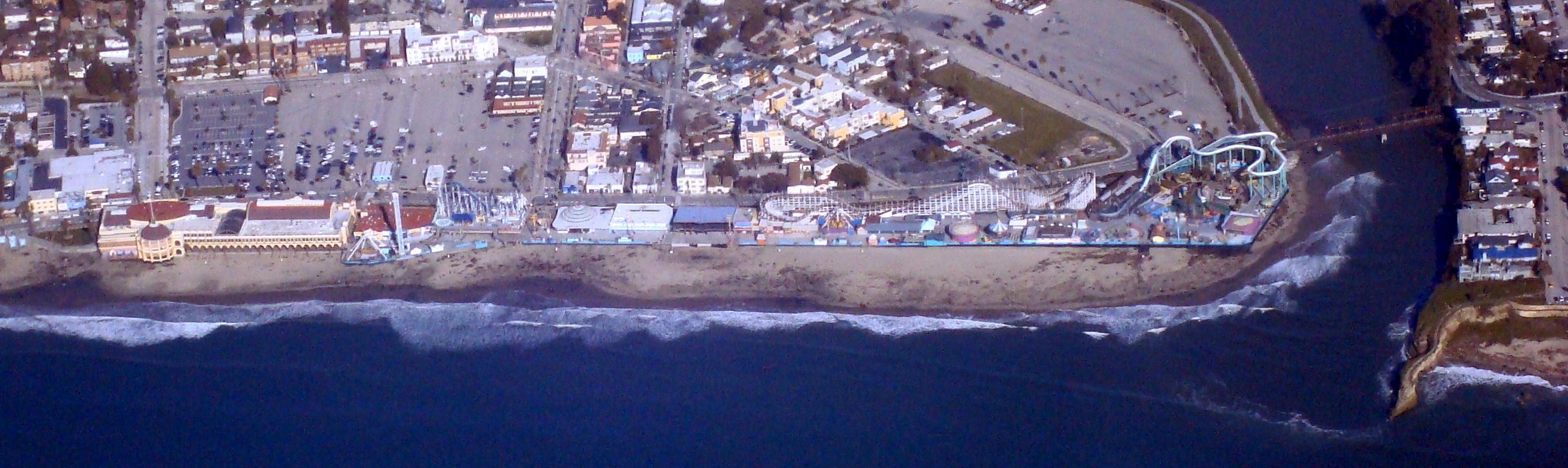
One of the notable coastal recreational places on the Monterey Bay is the Santa Cruz Boardwalk.
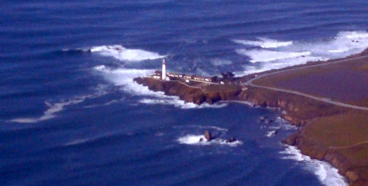
We left the Monterey Bay and came upon Pigeon Point Light House.
We passed Tunitas Beach on the way.
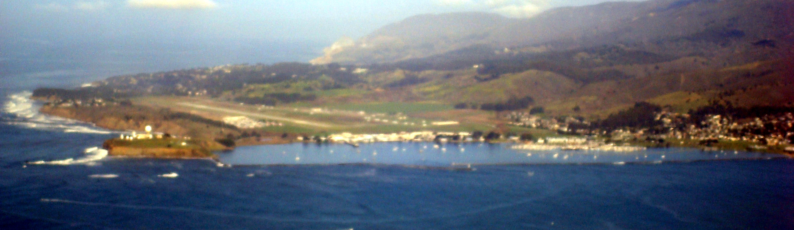
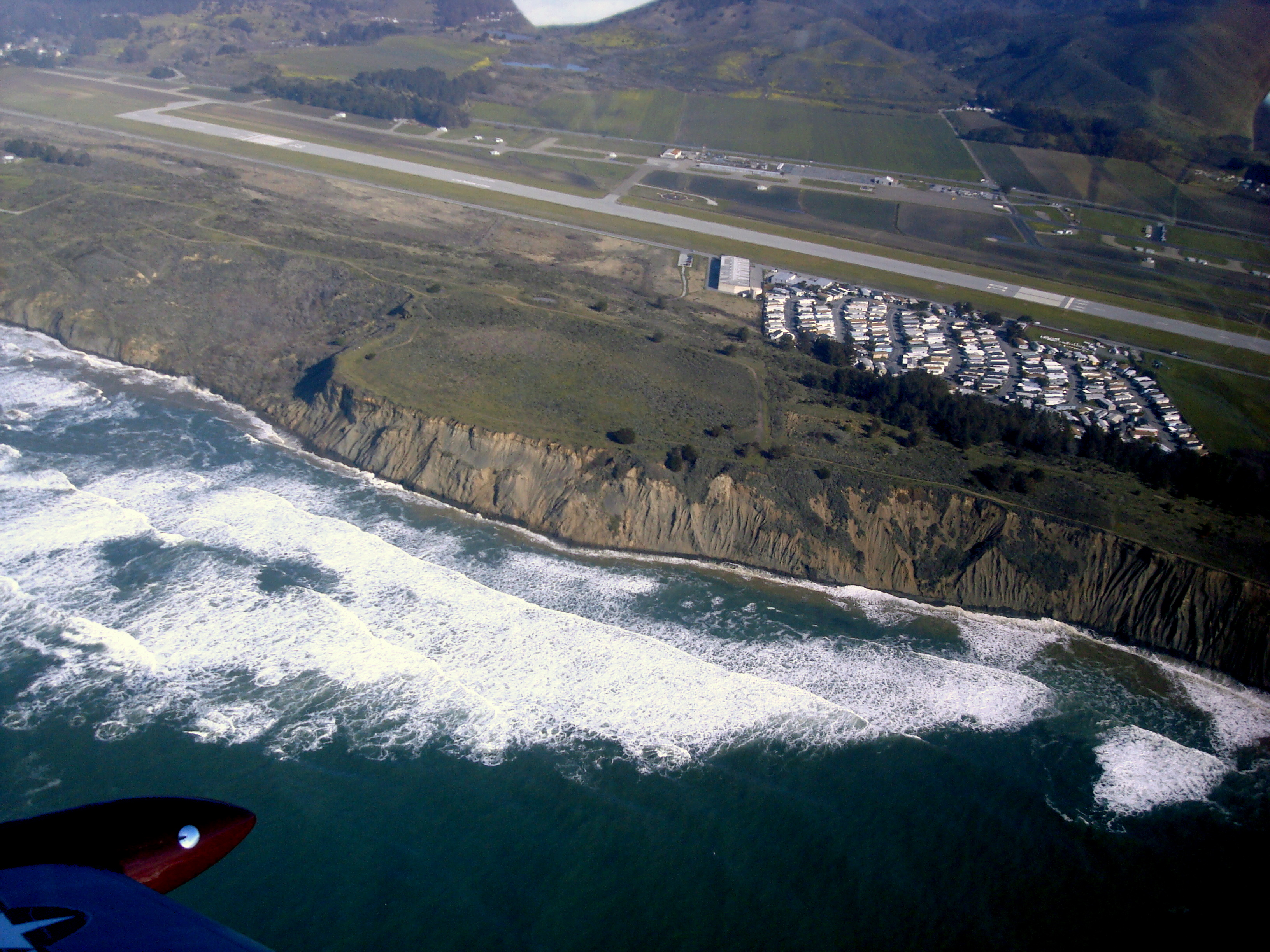
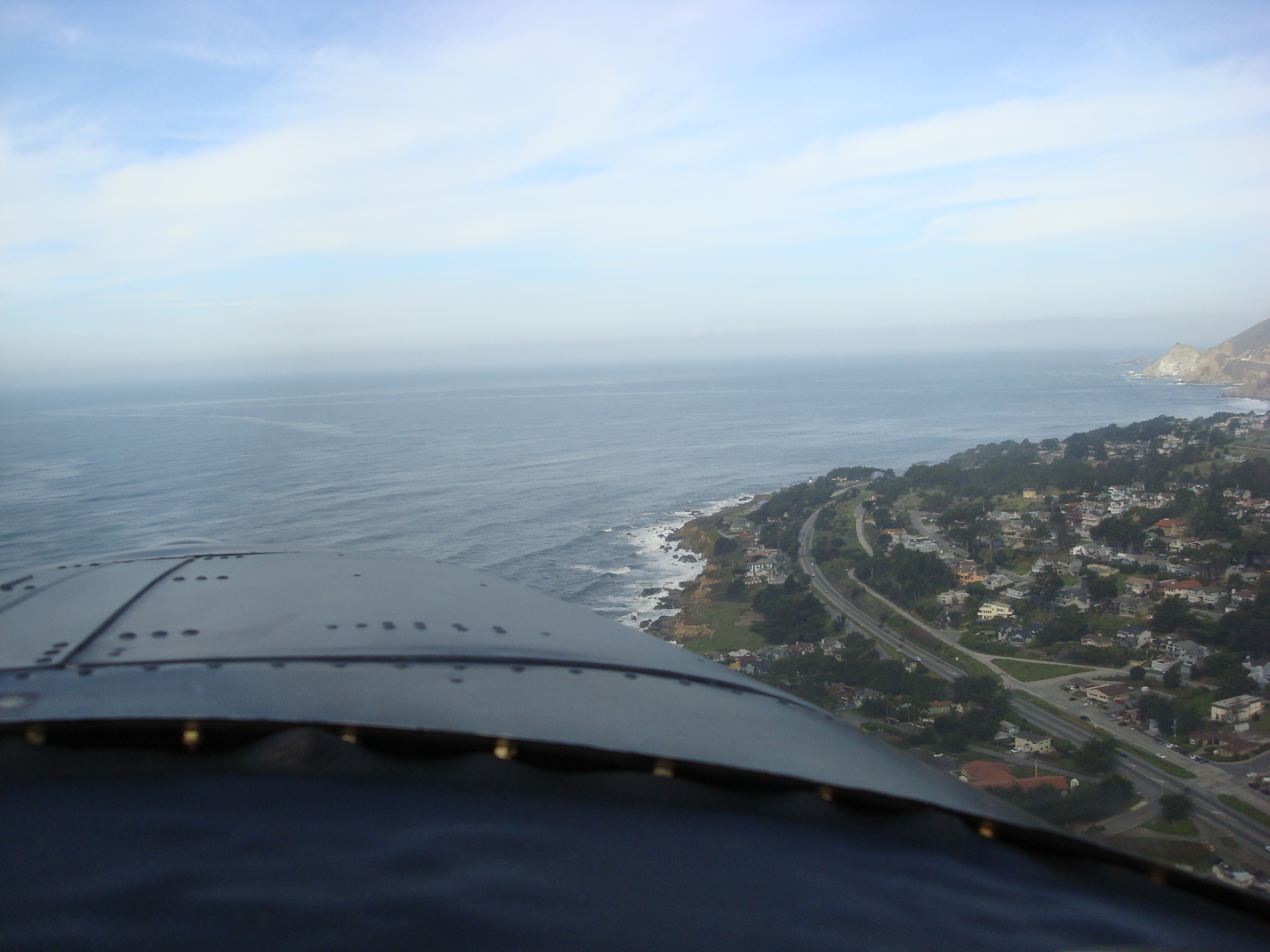
Pillar Point Harbor and Half Moon Bay Airport, finally, our destination is in sight.
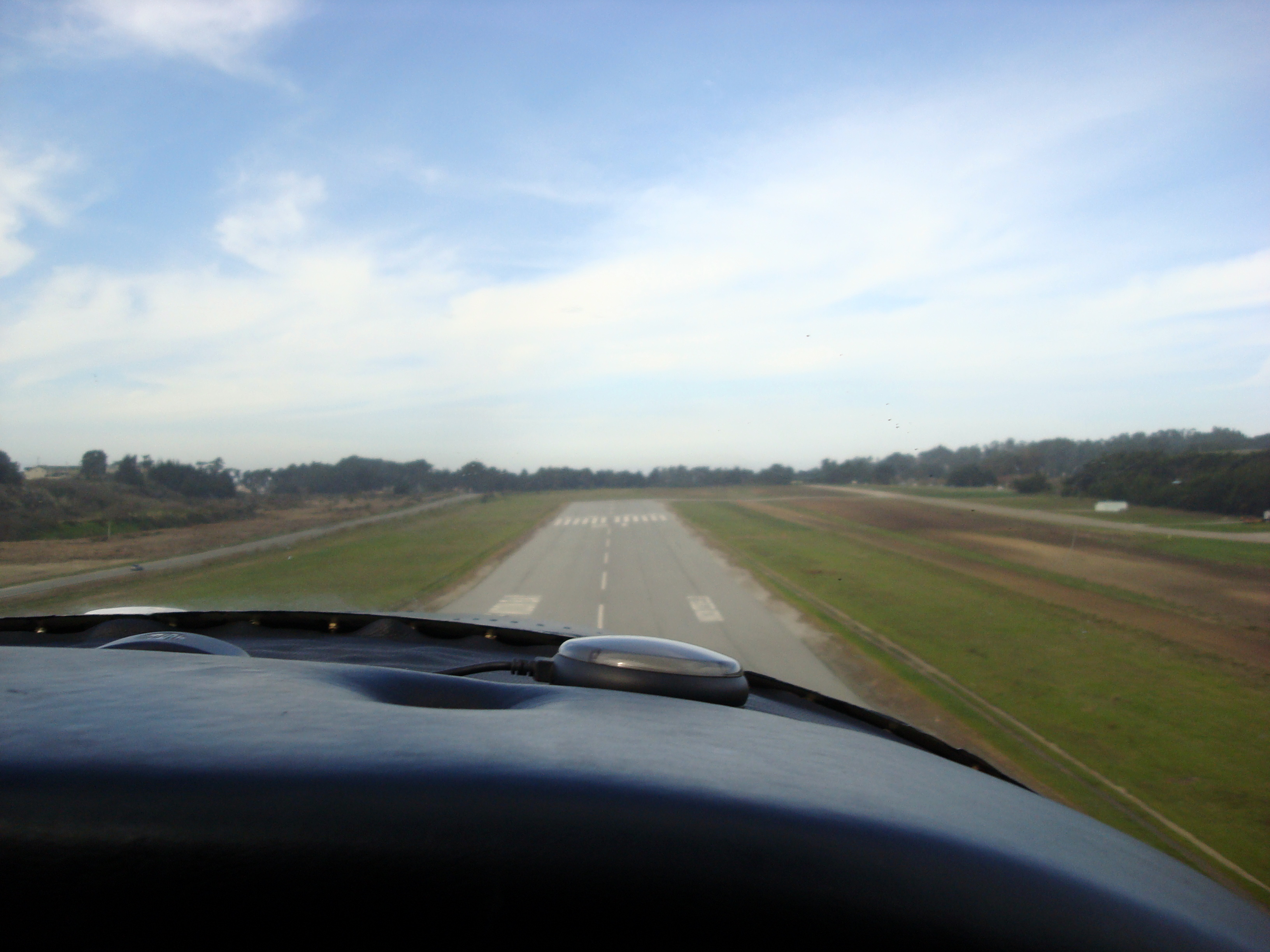
We entered the traffic pattern
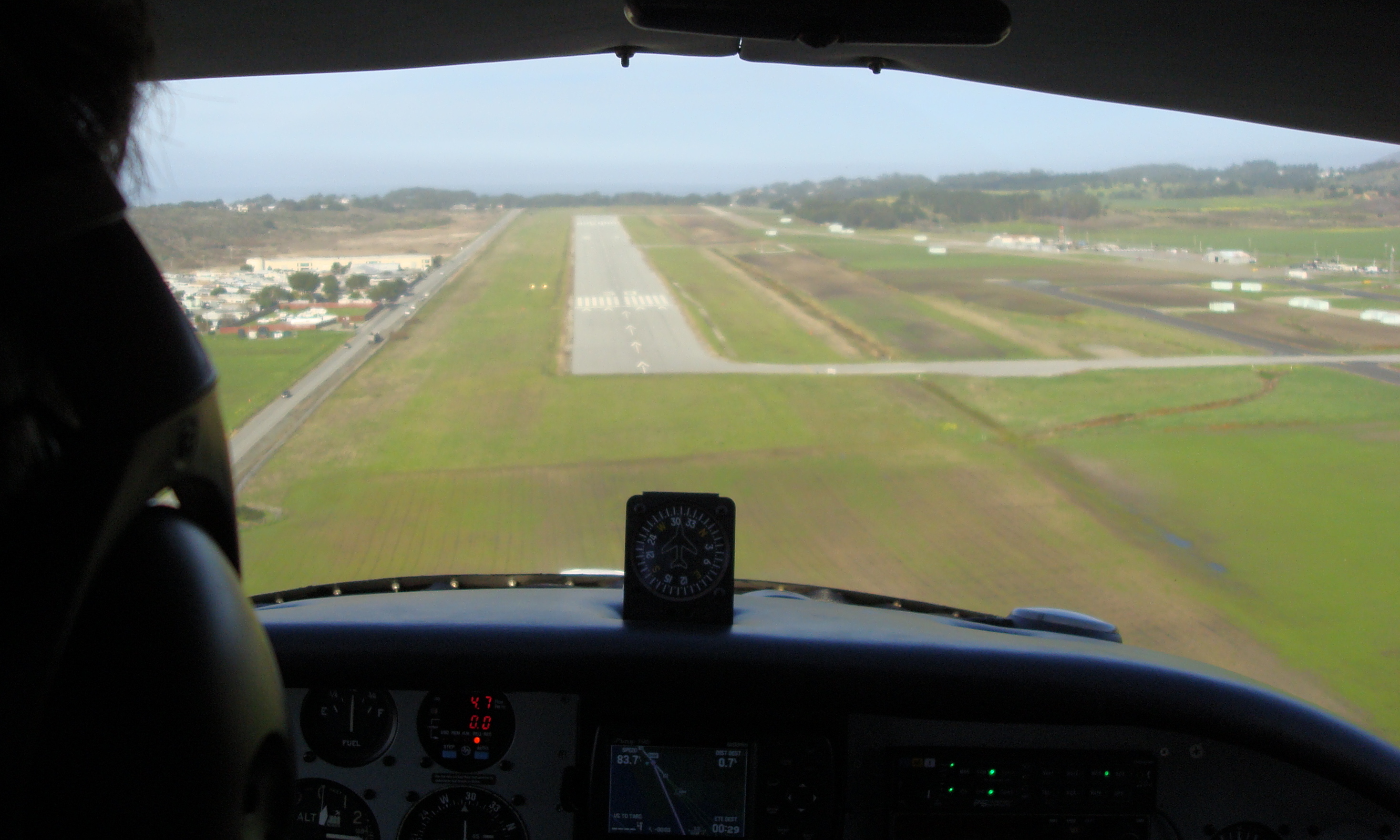
Case lined the plane up with the runway, landed and...
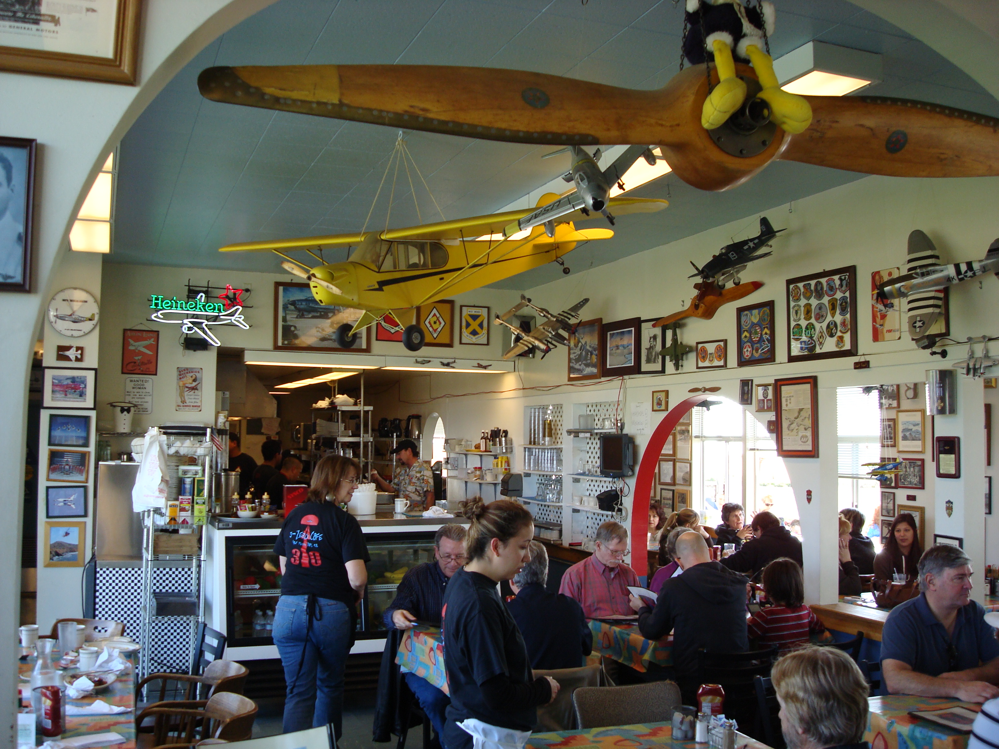
Ahh, the colorful charm of an airport diner. The food was good at the 3-zero cafe. Fun fact: A $100 hamburger ("hundred-dollar hamburger") is aviation slang for a general aviation pilot needing an excuse to fly. A $100 hamburger trip usually involves flying a short distance (less than two hours), eating at an airport restaurant, and flying home.
After we ate, we took off.
As we departed we were treated to a lovely view of the town of Moss Beach. Then, we headed back.
We went to the Monterey Bay again and I got some good pictures of the Santa Cruz Light House point, also known to surfers as steamers lane.
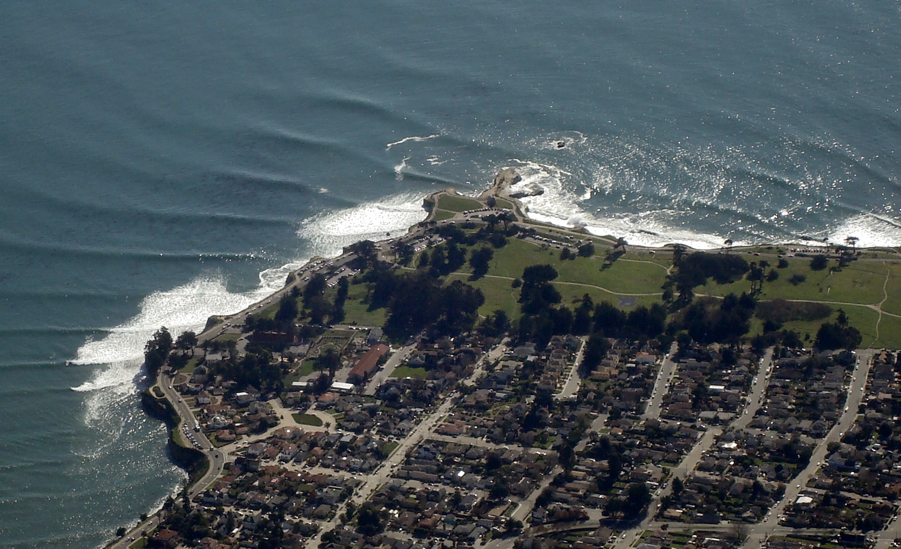
I just have to put another picture in because the Light House Park is one of my favorite places to surf, although I haven't been in years.
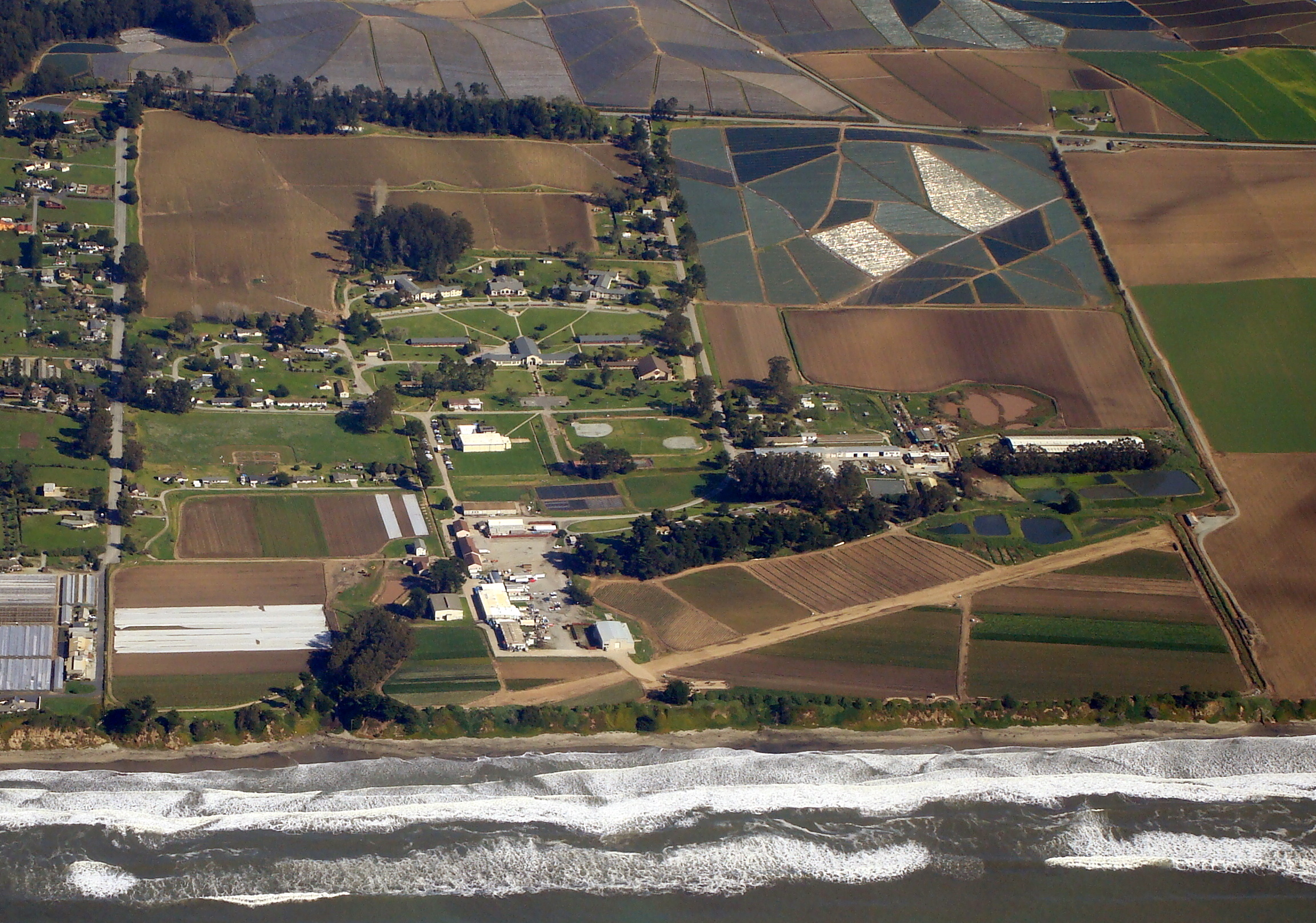
We Passed Monterey Bay Academy again on the way back.
We decided to go home by another way and so we turned inland from the Monterey Bay.
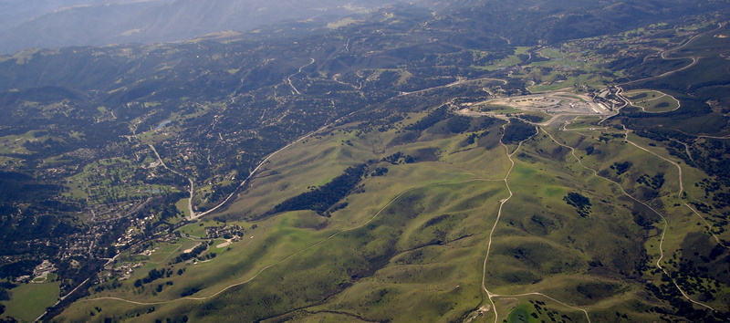
Here we can see the Mazda Raceway at Laguna Seca (to the right) and Corral De Tierra golf course (to the left).
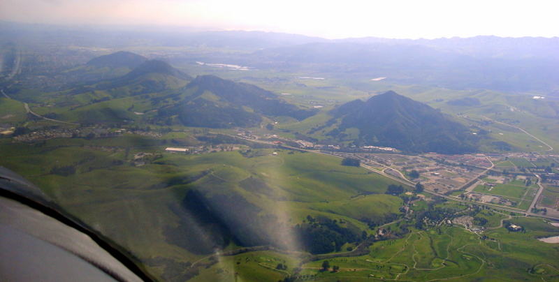
We also saw places like the north end of San Luis Obispo and Dairy Creek golf course.
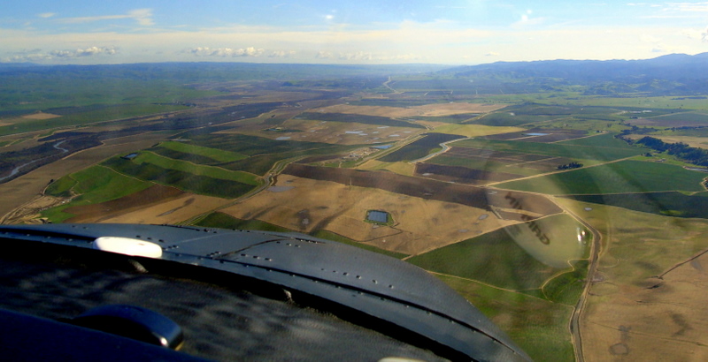
Of course there was lots of farmland.
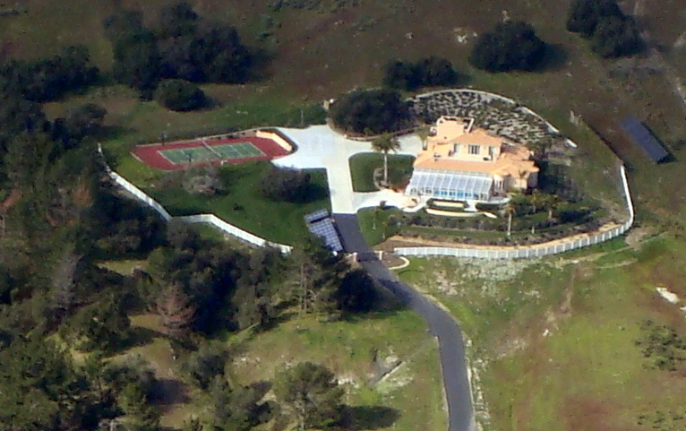
We got a look at the home of Dr. Erenius. Yes we had two doctors on board.
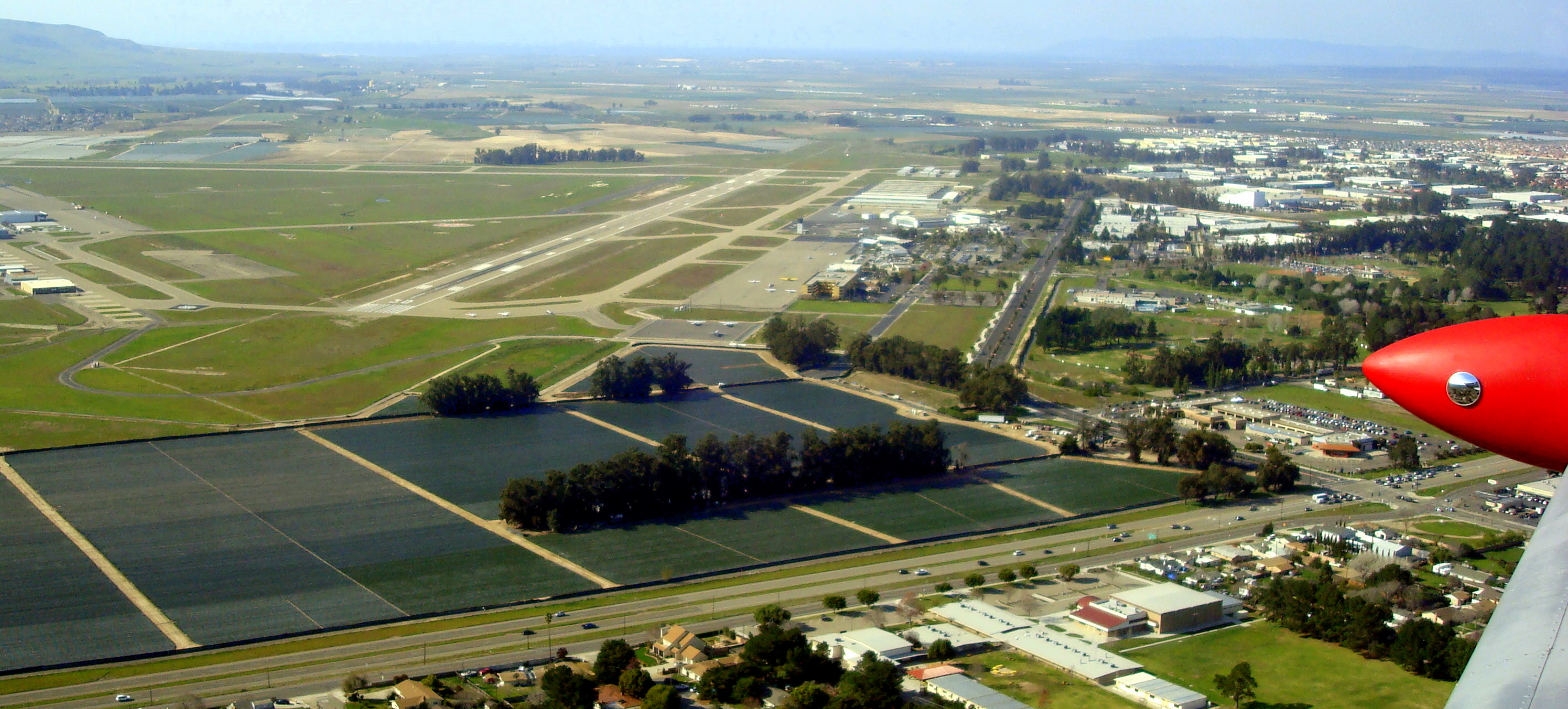
We're back at the Santa Maria airport.
Case lined the plane up for a great landing, thus ending another great flying adventure.